alb9658173
map, Acre, Israel, Third Crusade, Richard I, middle ages, 12th century, historical,
| Share |
|---|
 Pinterest Pinterest |
 Twitter Twitter |
 Facebook Facebook |
 Copy link Copy link |
 Email Email |
|
Add to another lightbox |
|
Add to another lightbox |


Title:
map, Acre, Israel, Third Crusade, Richard I, middle ages, 12th century, historical,
Caption:
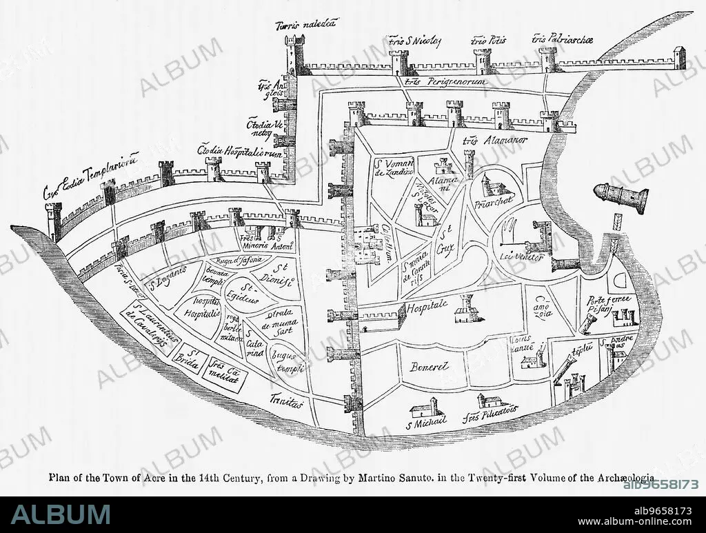
Plan of the Town of Acre in the 14th Century, from a Drawing by Martino Santo in the Twenty-Twenty-First Volume of the Archaeologia, Illustration from John Cassell's Illustrated History of England, Vol. I from the earliest period to the reign of Edward the Fourth, Cassell, Petter and Galpin, 1857
Credit:
Album / Universal Images Group / JT Vintage / Glasshouse Images
Releases:
Model: No - Property: No
Rights questions?
Rights questions?
Image size:
5010 x 3522 px | 50.5 MB
Print size:
42.4 x 29.8 cm | 16.7 x 11.7 in (300 dpi)
Keywords:
1191 • 12 CENTURY • 12TH CENTURY • ACRE • ARCHIVAL • BLACK & WHITE • BLACK AND WHITE • CAPTURE • DAVID • GEOGRAPHY • GHIV • HISTORICAL • HORIZONTAL • ILLUSTRATION • ILLUSTRATIONS • ISRAEL • MAP • MAPS • MEDIEVAL • MIDDLE AGES • NO ONE • NO PEOPLE • NO-ONE • NOBODY • PLAN (CARTOGRAPHY) • RETRO • RICHARD COEUR DE LION • RICHARD I OF ENGLAND • THIRD CRUSADE • UNITED KINGDOM • VINTAGE • WITHOUT PEOPLE
