alb8379166
HARRIS & EWING. Map of Europe, between 1913 and 1917. Creator: Harris & Ewing.
| Share |
|---|
 Pinterest Pinterest |
 Twitter Twitter |
 Facebook Facebook |
 Copy link Copy link |
 Email Email |
|
Add to another lightbox |
|
Add to another lightbox |


Author:
Title:
Map of Europe, between 1913 and 1917. Creator: Harris & Ewing.
Caption:
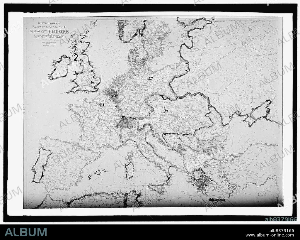
Map of Europe, between 1913 and 1917. 'Bartholomew's Railway & Steamship Map of Europe and the Mediterranean'.
Technique/material:
Photograph
Credit:
Album / Heritage Art/Heritage Images
Releases:
Model: No - Property: No
Rights questions?
Rights questions?
Image size:
10153 x 7586 px | 220.4 MB
Print size:
86.0 x 64.2 cm | 33.8 x 25.3 in (300 dpi)
Keywords:
1910S • 20TH CENTURY • AMERICA • AMERICAN • BARTHOLOMEW & CO • BARTHOLOMEW • BARTOLOME • BLACK & WHITE • BLACK AND WHITE • CENTURY • COLLECTION • CONTINENT • COUNTRY • EUROPE • EWING • GEORGE W. HARRIS • GEORGE W. • GLASS NEGATIVE • GLASS NEGATIVES. GMGPC • HARRIS & EWING COLLECTION • HARRIS & EWING INC • HARRIS & EWING INC. • HARRIS & EWING PHOTOGRAPHIC STUDIO • HARRIS & EWING • HARRIS & • HARRIS • J. G. BARTHOLOMEW • JOHN & SON • JOHN BARTHOLOMEW & CO • JOHN BARTHOLOMEW & SON LTD • JOHN BARTHOLOMEW & SON • KUNTZE • LOCATION • MAP • MARTHA EWING NEWCOMBE • MARTHA EWING • MARTHA KUNTZE • MARTHA OF BETHANY • MARTHA • NEGATIVE PHOTOGRAPH • NEGATIVE • NEWCOMBE • PHOTOGRAPH • PHOTOGRAPHY • RAILWAY • RAILWAYS • ROUTE • ROUTES • SAINT MARTHA • SHIP • SHIPS • STEAMBOAT • STILL IMAGE • TRANSPORT • TRANSPORTATION • TRAVEL • UNITED STATES OF AMERICA • UNITED STATES • USA • WATER TRANSPORT
