alb9226418
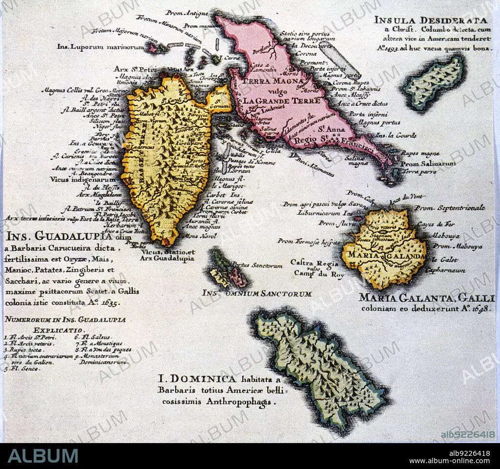
Map of the island of Guadalupe and other islands of the Antilles, 1680. Creator: Jaillot, Alexis-Hubert (1632-1712) .
| Share |
|---|
 Pinterest Pinterest |
 Twitter Twitter |
 Facebook Facebook |
 Copy link Copy link |
 Email Email |
|
Add to another lightbox |
|
Add to another lightbox |


Title:
Map of the island of Guadalupe and other islands of the Antilles, 1680. Creator: Jaillot, Alexis-Hubert (1632-1712) .
Caption:
Map of the island of Guadalupe and other islands of the Antilles, 1680.
Credit:
Album / Image - Index/Heritage Images
Releases:
Model: No - Property: No
Rights questions?
Rights questions?
Image size:
5600 x 4955 px | 79.4 MB
Print size:
47.4 x 42.0 cm | 18.7 x 16.5 in (300 dpi)
Keywords:
1680 • 17TH CENTURY • ALEXIS-HUBERT (1632-1712) • ALEXIS-HUBERT • ANTILLES • COLOR • COLOUR • DRAWING • GUADALUPE • INDEX FOTOTECA • ISLAND • JAILLOT • MAP • MAPS • OTHER • PRIVATE COLLECTION
