alb3974858
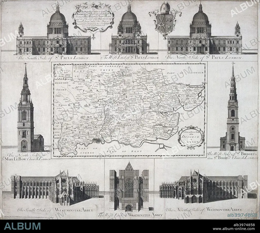
Map of the Diocese of London, 1720. Artist: John Harris
| Share |
|---|
 Pinterest Pinterest |
 Twitter Twitter |
 Facebook Facebook |
 Copy link Copy link |
 Email Email |
|
Add to another lightbox |
|
Add to another lightbox |


Title:
Map of the Diocese of London, 1720. Artist: John Harris
Caption:
Map of the Diocese of London, 1720. The map is surrounded by views of St Paul's Cathedral, Westminster Abbey, St Mary le Bow and St Bride's.
Personalities:
Credit:
Album / The London Archives (City of London)/Heritage Images
Releases:
Model: No - Property: No
Rights questions?
Rights questions?
Image size:
2727 x 2301 px | 18.0 MB
Print size:
23.1 x 19.5 cm | 9.1 x 7.7 in (300 dpi)
Keywords:
18TH CENTURY • 18TH CENTURY, THE • 18TH • ABBEY • ANGLICAN • ARCHITECTURE • BLACK & WHITE • BLACK AND WHITE • BOW CHURCH • BRITAIN • BRITISH • CATHEDRAL • CENTURY • CHRISTIAN • CHRISTIANISM • CHRISTIANITY • CHRISTOPHER WREN • CHRISTOPHER • CHURCH OF ENGLAND • CHURCH • COUNTRY • CRISTIANDAD • CRISTIANISMO • ECCLESIA • EIGHTEENTH CENTURY • ENGLAND • ENGLISH • ETCHING • GUILDHALL LIBRARY & ART GALLERY • HARRIS • JOHN HARRIS • JOHN • KITTY WREN • LOCATION • LONDON • MAP • MINSTER (CATHEDRAL) • MONOCHROMATIC • MONOCHROME • RELIGION • RELIGIOUS • SIR CHRISTOPHER WREN • SIR CHRISTOPHER • ST BRIDE • ST MARY LE BOW • ST MARY-LE-BOW • ST. PAUL'S CATHEDRAL • WESTMINSTER ABBEY • WREN
