alb5366846
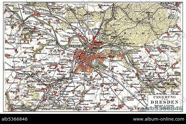
Map of Dresden and the surrounding area, Germany, Europe, end of the 19th Century, from Meyers Encyclopaedia, 1889, Europe.
| Share |
|---|
 Pinterest Pinterest |
 Twitter Twitter |
 Facebook Facebook |
 Copy link Copy link |
 Email Email |
|
Add to another lightbox |
|
Add to another lightbox |


Caption:
Map of Dresden and the surrounding area, Germany, Europe, end of the 19th Century, from Meyers Encyclopaedia, 1889, Europe
Credit:
Album / ImageBroker / H.-D. Falkenstein
Releases:
Model: No - Property: No
Rights questions?
Rights questions?
Image size:
600 x 369 px | 648.6 KB
Print size:
5.1 x 3.1 cm | 2.0 x 1.2 in (300 dpi)
Keywords:
19TH CENTURY • AGE • ÂGÉS • AUS • BOOK • BOOKING • BOOKS • CADRE • CARD • CARDBOARD • CARDS • CHARTS • DEPICTION • DEPICTIONS • DRESDEN • ENCYCLOPEDIA • ENCYLOPEDIAS • END • ENDS • ENVIRONMENT • EUROPE • FIGURE • FIGURES • GERMAN FEDERAL REPUBLIC • GERMANY • HISTORIC • HISTORICAL • HISTORY • ILLUSTRATION • IMAGE MOTIF • IMAGES • IN PAINTINGS • INTERIORS: IN PAINTINGS • LABOR • LABOUR • MAP • MAPS • MEYERS KONVERSATIONS-LEXIKON • MEYERS LEXIKON • NINETEENTH CENTURY • OLD AGE • OLD • PAINTING (ACTIVITY) • PAINTING • PAINTINGS • PICTURE • PICTURES • REFERENCE BOOK • REFERENCE BOOKS • ROAD MAP • ROAD MAPS • SACHSEN • SAXON • SAXONY • SURROUND • SURROUNDING • SURROUNDINGS • SURROUNDS • TERRITORY • WORK • WORKING • WORKS
