alb1963307
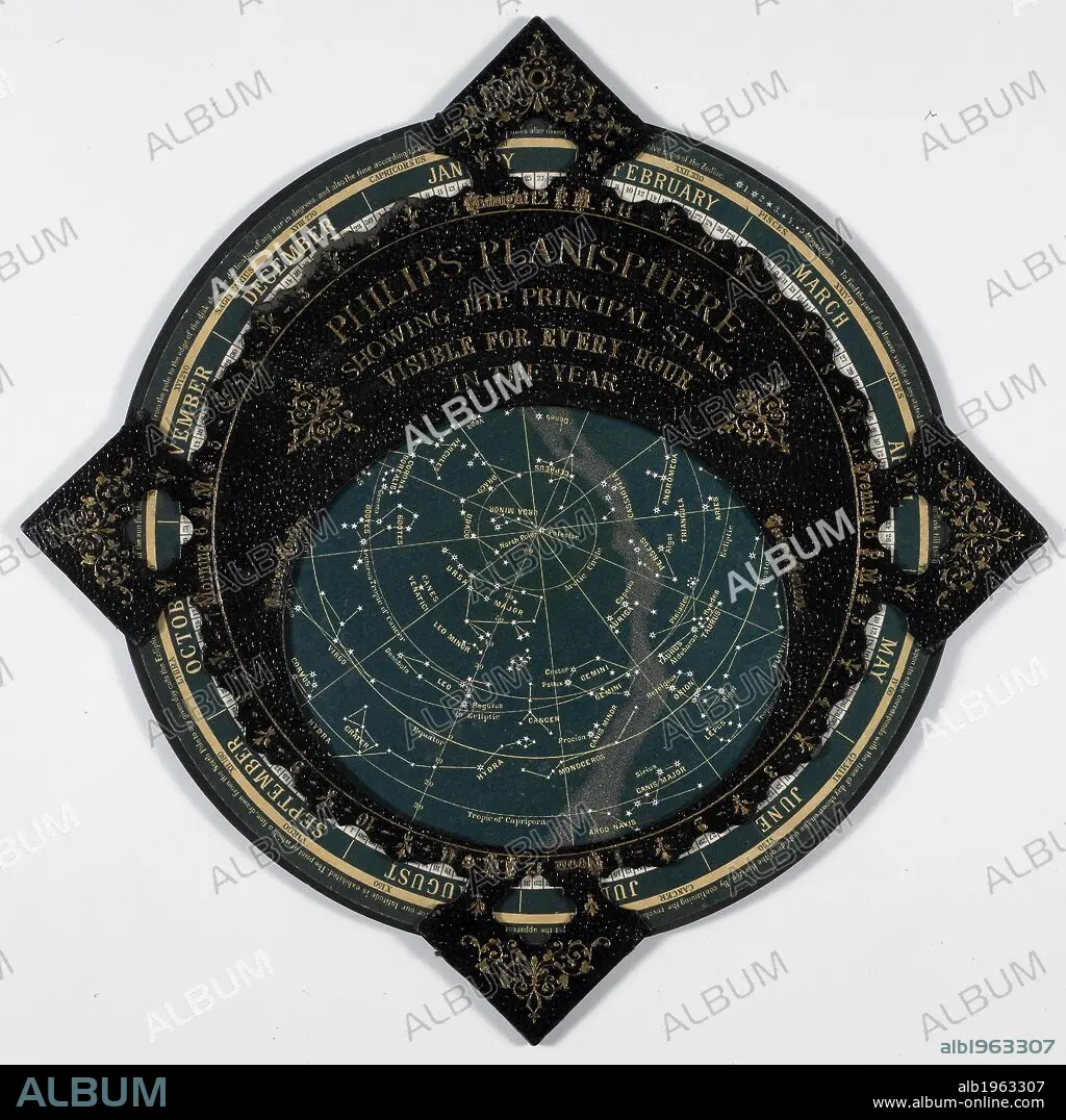
Philips Planisphere 1887. A map of the stars. . Philips’ Planisphere, showing the principal Stars visible for every hour in the year. London and Liverpool, England. Source: Maps 9.c.36. Language: English.
| Share |
|---|
 Pinterest Pinterest |
 Twitter Twitter |
 Facebook Facebook |
 Copy link Copy link |
 Email Email |
|
Add to another lightbox |
|
Add to another lightbox |


Caption:
Philips Planisphere 1887. A map of the stars. . Philips’ Planisphere, showing the principal Stars visible for every hour in the year. London and Liverpool, England. Source: Maps 9.c.36. Language: English.
Credit:
Album / British Library
Releases:
Model: No - Property: No
Rights questions?
Rights questions?
Image size:
4018 x 4016 px | 46.2 MB
Print size:
34.0 x 34.0 cm | 13.4 x 13.4 in (300 dpi)
Keywords:
ARCHIVE • ARCHIVES • ASTRONOMICAL OBJECT • ASTRONOMY • CARTOGRAPHY • CHART • CIENCIA • CONSTELLATION • DOCUMENT • ILLUSTRATION • MAP MAKING • MAP • NATURAL HISTORY • NATURAL SCIENCES • NATURE STUDY • PLAN (CARTOGRAPHY) • SCIENCE • SCIENTIFIC LITERATURE • SOLAR SYSTEM • STAR • TOOLS AND EQUIPMENT • VISUAL WORKS
