alb3918684
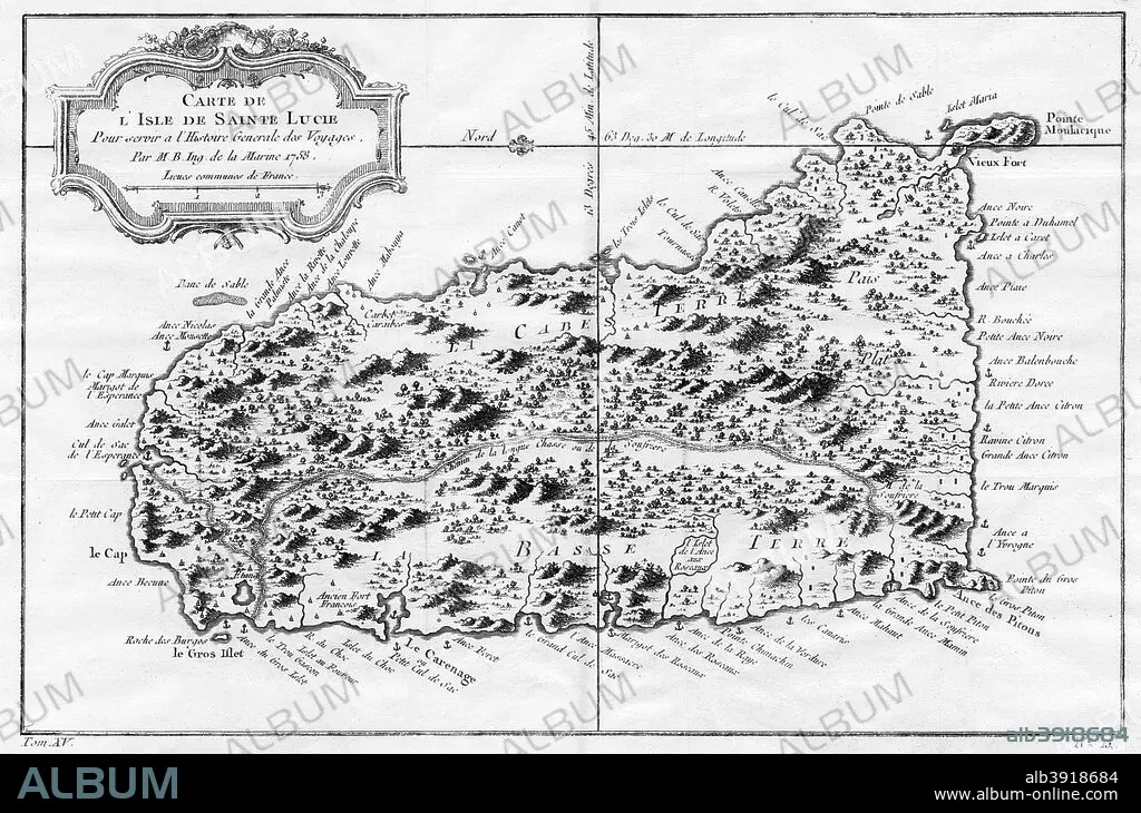
A map of St Lucia, the West Indies, 1758. Artist: N Bellun
| Share |
|---|
 Pinterest Pinterest |
 Twitter Twitter |
 Facebook Facebook |
 Copy link Copy link |
 Email Email |
|
Add to another lightbox |
|
Add to another lightbox |


Title:
A map of St Lucia, the West Indies, 1758. Artist: N Bellun
Caption:
A map of St Lucia, the West Indies, 1758.
Credit:
Album / The Print Collector / Heritage Images
Releases:
Model: No - Property: No
Rights questions?
Rights questions?
Image size:
5143 x 3400 px | 50.0 MB
Print size:
43.5 x 28.8 cm | 17.1 x 11.3 in (300 dpi)
Keywords:
BELLUN • BLACK & WHITE • BLACK AND WHITE • CARIBBEAN • COPPERPLATE • ENGRAVING • GEOGRAPHICAL FEATURE • GEOGRAPHY • GULF OF MEXICO • GULF • INDIES • ISLAND • LESSER ANTILLES • LOCATION • MAP • MONOCHROMATIC • MONOCHROME • N BELLUN • N • SAINT LUCIA • SEA • ST LUCIA • WEST INDIAN • WEST INDIES • WINDWARD ISLANDS
