alb1653548
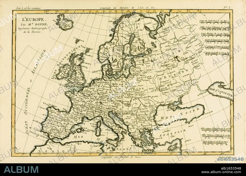
Map of Europe, circa 1760. From 'Atlas de Toutes Les Parties Connues du Globe Terrestre ' by Cartographer Rigobert Bonne. Published Geneva circa. 1760.
| Compartir |
|---|
 Pinterest Pinterest |
 Twitter Twitter |
 Facebook Facebook |
 Copiar enlace Copiar enlace |
 Email Email |
|
Añadir a otro lightbox |
|
Añadir a otro lightbox |


¿Ya tienes cuenta? Iniciar sesión
¿No tienes cuenta? Regístrate
Compra esta imagen

Descripción:
Ver traducción automática
Map of Europe, circa 1760. From 'Atlas de Toutes Les Parties Connues du Globe Terrestre ' by Cartographer Rigobert Bonne. Published Geneva circa. 1760.
Crédito:
Album / Universal History Archive/Universal Images Group
Autorizaciones:
Modelo: No - Propiedad: No
¿Preguntas relacionadas con los derechos?
¿Preguntas relacionadas con los derechos?
Tamaño imagen:
5670 x 3780 px | 61.3 MB
Tamaño impresión:
48.0 x 32.0 cm | 18.9 x 12.6 in (300 dpi)
Palabras clave:
AGUAFUERTE • CARTOGRAFIA • COLOR • ENGRAVING • EUROPA • GEOGRAFIA • GRABADO • GRABADOS • HORIZONTAL • HORIZONTALES • ILUSTRACION • KEN • MAPA • PLATO
