alb4086978
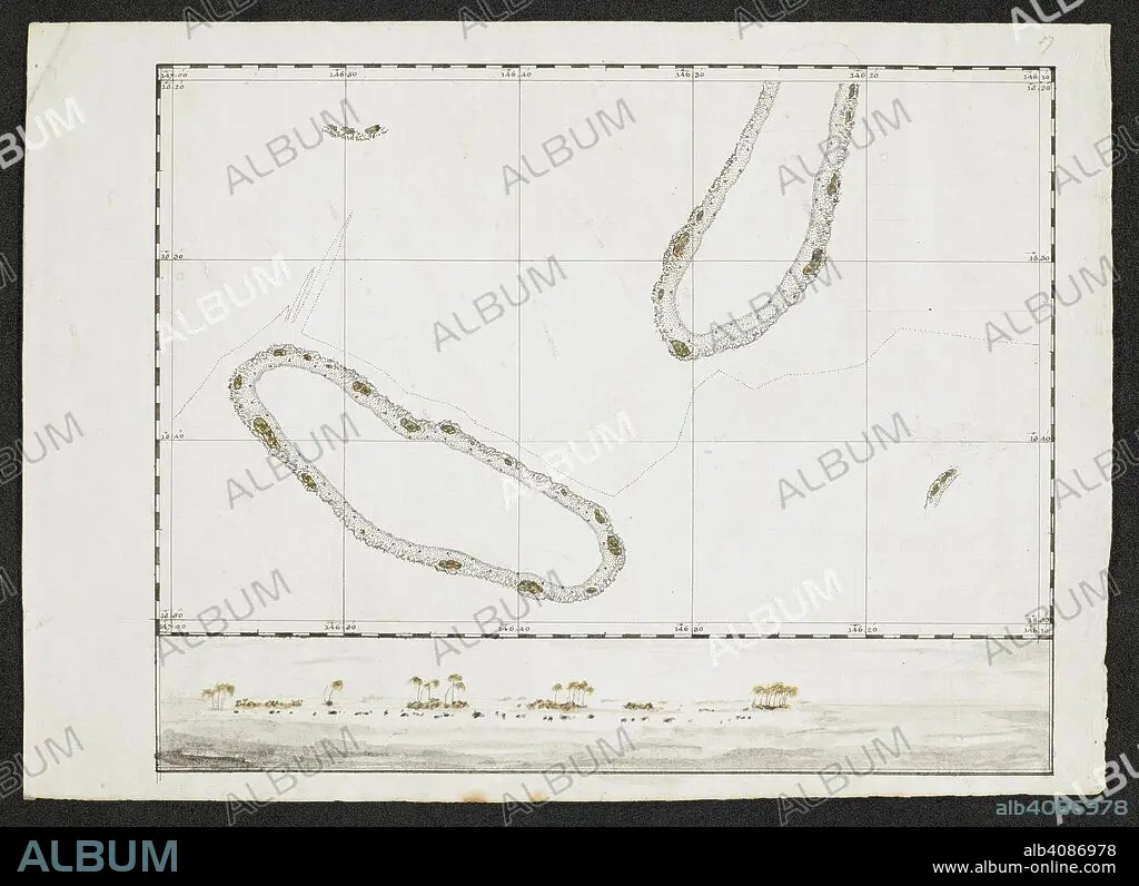
A chart showing two islands. SIXTY-SEVEN Charts and maps illustrating the voyages and surveys of Capt. James Cook, R.N., and other discoverers; circ. 1760- 1780. c 1760-1780. Source: Add. 31360, no.57.
| Compartir |
|---|
 Pinterest Pinterest |
 Twitter Twitter |
 Facebook Facebook |
 Copiar enlace Copiar enlace |
 Email Email |
|
Añadir a otro lightbox |
|
Añadir a otro lightbox |


¿Ya tienes cuenta? Iniciar sesión
¿No tienes cuenta? Regístrate
Compra esta imagen

Autor:
Descripción:
Ver traducción automática
A chart showing two islands. SIXTY-SEVEN Charts and maps illustrating the voyages and surveys of Capt. James Cook, R.N., and other discoverers; circ. 1760- 1780. c 1760-1780. Source: Add. 31360, no.57.
Crédito:
Album / British Library
Autorizaciones:
Modelo: No - Propiedad: No
¿Preguntas relacionadas con los derechos?
¿Preguntas relacionadas con los derechos?
Tamaño imagen:
8270 x 6002 px | 142.0 MB
Tamaño impresión:
70.0 x 50.8 cm | 27.6 x 20.0 in (300 dpi)
Palabras clave:
ARCHIPIÉLAGO • CARTOGRAFIA • CARTOGRAFICO • COOK, JAMES • DESCUBRIDOR • EXPLORACION • EXPLORADOR • EXPLORAR • GRAFICO • ISLA • SIGLO XVIII • VIAJANDO • VIAJE
