alb5294490
Map of France.
| Compartir |
|---|
 Pinterest Pinterest |
 Twitter Twitter |
 Facebook Facebook |
 Copiar enlace Copiar enlace |
 Email Email |
|
Añadir a otro lightbox |
|
Añadir a otro lightbox |


¿Ya tienes cuenta? Iniciar sesión
¿No tienes cuenta? Regístrate
Compra esta imagen

Título:
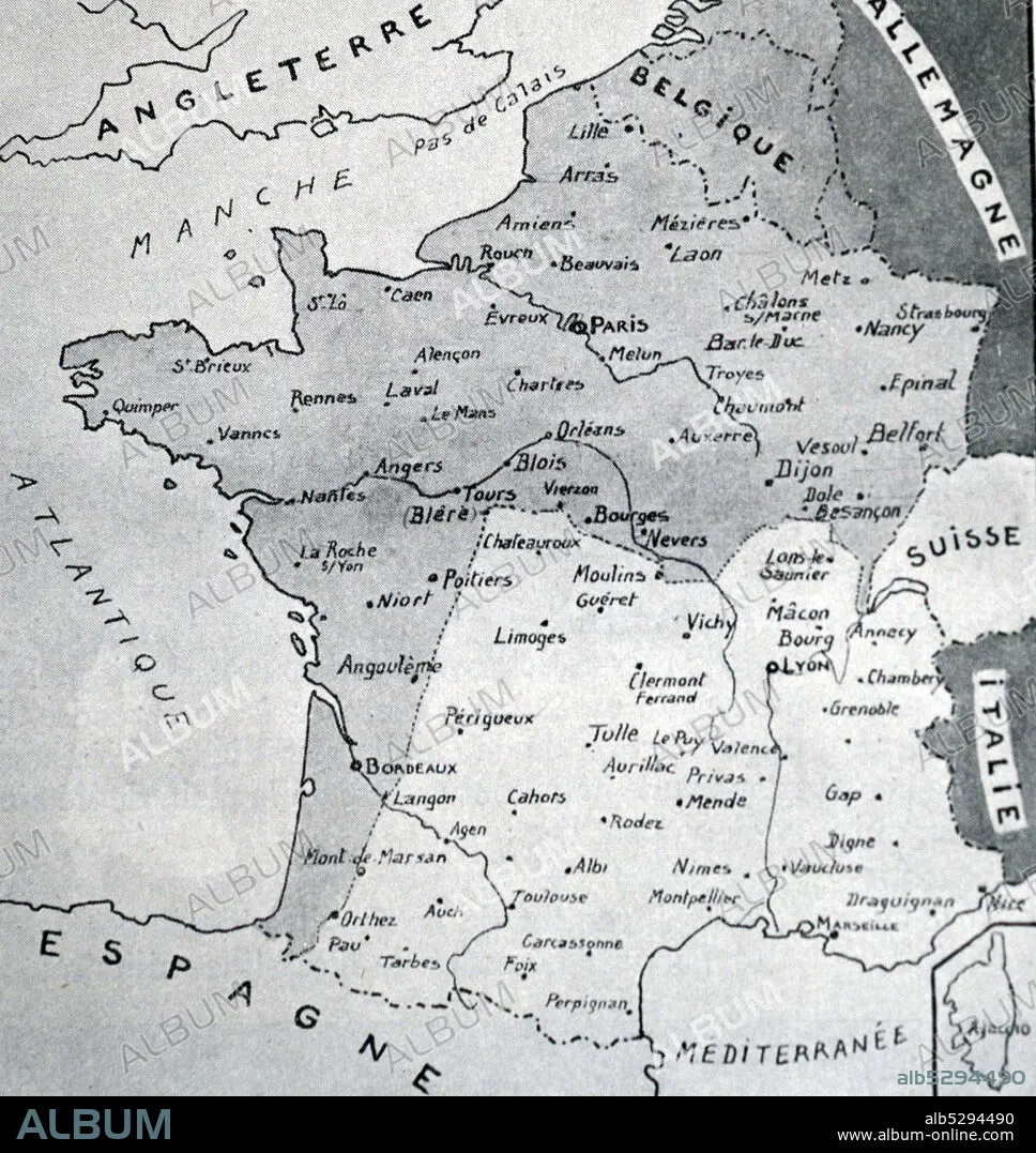
Map of France.
Descripción:
Ver traducción automática
Black and white reproduction of a map of France with the Demarcation Line between Nazi occupied France to the North and Vichy France to the South. During World War II (1939-1945).
Crédito:
Album / Universal History Archive/Universal Images Group
Autorizaciones:
Modelo: No - Propiedad: No
¿Preguntas relacionadas con los derechos?
¿Preguntas relacionadas con los derechos?
Tamaño imagen:
4452 x 4710 px | 60.0 MB
Tamaño impresión:
37.7 x 39.9 cm | 14.8 x 15.7 in (300 dpi)
Palabras clave:
