alb4193580
Political map of North America. Artist: Unknown.
| Compartir |
|---|
 Pinterest Pinterest |
 Twitter Twitter |
 Facebook Facebook |
 Copiar enlace Copiar enlace |
 Email Email |
|
Añadir a otro lightbox |
|
Añadir a otro lightbox |


¿Ya tienes cuenta? Iniciar sesión
¿No tienes cuenta? Regístrate
Compra esta imagen

Título:
Political map of North America. Artist: Unknown.
Descripción:
Ver traducción automática
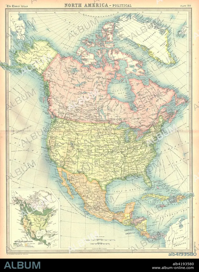
Political map of North America. Map showing Canada, the United States, Mexico, the Caribbean and Central America. Plate 80 from The Times Atlas.
Crédito:
Album / Heritage Images / The Print Collector
Autorizaciones:
Modelo: No - Propiedad: No
¿Preguntas relacionadas con los derechos?
¿Preguntas relacionadas con los derechos?
Tamaño imagen:
3555 x 4624 px | 47.0 MB
Tamaño impresión:
30.1 x 39.1 cm | 11.8 x 15.4 in (300 dpi)
Palabras clave:
AMERICA CENTRAL • AMÉRICA DEL NORTE • CANADA • CARIBE • CARTOGRAFIA • COLOR • ESTADOS UNIDOS DE AMERICA • GEOGRAFIA • MAPA • MAR • MEXICO • NORTEAMERICA • PAÍS
