alb9619001
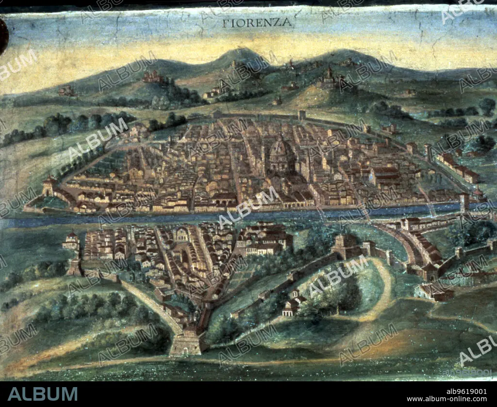
Map of Florence, 15th century. Artist: Unknown
| Compartir |
|---|
 Pinterest Pinterest |
 Twitter Twitter |
 Facebook Facebook |
 Copiar enlace Copiar enlace |
 Email Email |
|
Añadir a otro lightbox |
|
Añadir a otro lightbox |


¿Ya tienes cuenta? Iniciar sesión
¿No tienes cuenta? Regístrate
Compra esta imagen

Título:
Map of Florence, 15th century. Artist: Unknown
Descripción:
Ver traducción automática
Map of Florence, 15th century. View of the city showing the River Arno and Brunelleschi's Duomo. From the Gallery of Maps, Vatican Museum, Vatican City, Italy.
Crédito:
Album / Ann Ronan Picture Library/Heritage-Images
Autorizaciones:
Modelo: No - Propiedad: No
¿Preguntas relacionadas con los derechos?
¿Preguntas relacionadas con los derechos?
Tamaño imagen:
4769 x 3660 px | 49.9 MB
Tamaño impresión:
40.4 x 31.0 cm | 15.9 x 12.2 in (300 dpi)
Palabras clave:
ARNO • CATEDRAL • CHRISTIANITY • CIUDAD AMURALLADA • CIUDAD • COLOR • CRISTIANDAD • CRISTIANISMO • CRISTIANSMO • EDAD MEDIA • FLORENCIA • GEOGRAFIA • ITALIA • MAPA • MEDIEVAL • PAÍS • PARED • PUEBLO AMURALLADO • PUEBLO • RELIGION • RELIGIOSO • RIO ARNO • RIO • S. -XV • SIGLO XV • SIGLO
