alb5528963
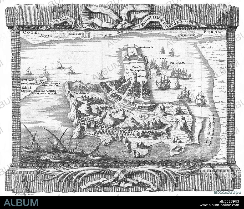
Iran / Persia: A map of 'Ormus' Hormuz Island in the Straits of Hormuz. Jacob Van der Schley (1715-1779),1750.

|
Añadir a otro lightbox |
|
Añadir a otro lightbox |


¿Ya tienes cuenta? Iniciar sesión
¿No tienes cuenta? Regístrate
Compra esta imagen.
Selecciona el uso:

Título:
Iran / Persia: A map of 'Ormus' Hormuz Island in the Straits of Hormuz. Jacob Van der Schley (1715-1779),1750.
Descripción:
Ver traducción automática
Hormuz Island (also spelled Hormoz) is an Iranian island in the Persian Gulf. It is located in the Straits of Hormuz and is part of the Hormozgan Province. It has an area of 42 km² (16 square miles). Hormuz Island was once part of the Portuguese Empire. The island was conquered by the Portuguese explorer Afonso de Albuquerque in the Capture of Ormuz. There is a historic Portuguese fortress on Hormuz Island, the Fort of Our Lady of the Conception. The island was then captured by a combined Anglo-Persian force in 1622 in the Capture of Ormuz.
Crédito:
Album / Pictures from History/Universal Images Group
Autorizaciones:
Tamaño imagen:
4700 x 3788 px | 50.9 MB
Tamaño impresión:
39.8 x 32.1 cm | 15.7 x 12.6 in (300 dpi)


 Pinterest
 Twitter
 Facebook
 Copiar enlace
 Email
Email
