alb4076108
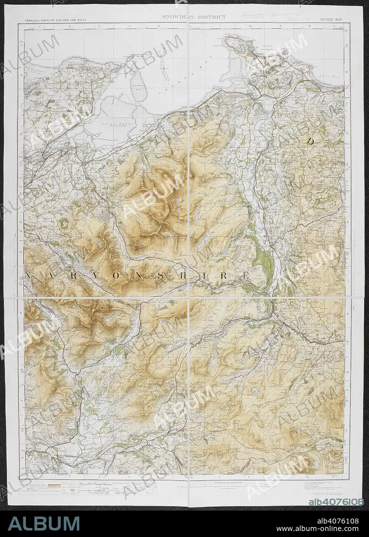
A tourist map of the Snowdon district. Ordnance Survey of England and Wales. Snowdon district. Tourist Map. Scale of one inch to one statute mile = 1 : 63,360. Southampton : Ordnance Survey Office, 1920. Source: Maps 6440.(2.). Language: English.
| Compartir |
|---|
 Pinterest Pinterest |
 Twitter Twitter |
 Facebook Facebook |
 Copiar enlace Copiar enlace |
 Email Email |
|
Añadir a otro lightbox |
|
Añadir a otro lightbox |


¿Ya tienes cuenta? Iniciar sesión
¿No tienes cuenta? Regístrate
Compra esta imagen
|
?
Impresiones, tarjetas y regalos personales o referencias para artistas. Solo para un uso no comercial. No se permite la reventa.
|
$19.99 |
|
?
|
$19.99 |
|
?
|
$49.99 |
|
?
|
$69.99 |
|
?
|
$199.99 |
Añadir al carrito
Para otros usos,
Descripción:
Ver traducción automática
A tourist map of the Snowdon district. Ordnance Survey of England and Wales. Snowdon district. Tourist Map. Scale of one inch to one statute mile = 1 : 63,360. Southampton : Ordnance Survey Office, 1920. Source: Maps 6440.(2.). Language: English.
Crédito:
Album / British Library
Autorizaciones:
Modelo: No - Propiedad: No
¿Preguntas relacionadas con los derechos?
¿Preguntas relacionadas con los derechos?
Tamaño imagen:
5074 x 7024 px | 102.0 MB
Tamaño impresión:
43.0 x 59.5 cm | 16.9 x 23.4 in (300 dpi)
Palabras clave:
ALBION • CARTOGRAFIA • CARTOGRAFICO • EUROPA OCCIDENTAL • EUROPA • GALES • GRAN BRETAÑA • INGLATERRA • ISLAS BRITANICAS • MAPA • SIGLO XX
