alb9337366
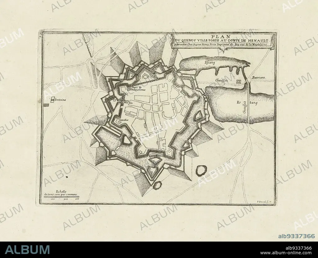
Map of le Quesnoy, 1712, Plan du Quenoy ville forte au comté de Henault (title on object), Map of le Quesnoy, besieged by the Allies in 1712. Part of a bundled collection of plans of battles and towns celebrated in the War of the Spanish Succession., print maker: Pieter Devel (mentioned on object), publisher: Eugene Henry Fricx (mentioned on object), Brussels, 1712, paper, etching, height 183 mm × width 248 mm.
| Compartir |
|---|
 Pinterest Pinterest |
 Twitter Twitter |
 Facebook Facebook |
 Copiar enlace Copiar enlace |
 Email Email |
|
Añadir a otro lightbox |
|
Añadir a otro lightbox |


¿Ya tienes cuenta? Iniciar sesión
¿No tienes cuenta? Regístrate
Compra esta imagen

Descripción:
Ver traducción automática
Map of le Quesnoy, 1712, Plan du Quenoy ville forte au comté de Henault (title on object), Map of le Quesnoy, besieged by the Allies in 1712. Part of a bundled collection of plans of battles and towns celebrated in the War of the Spanish Succession., print maker: Pieter Devel (mentioned on object), publisher: Eugene Henry Fricx (mentioned on object), Brussels, 1712, paper, etching, height 183 mm × width 248 mm
Crédito:
Album / quintlox
Autorizaciones:
Modelo: No - Propiedad: No
¿Preguntas relacionadas con los derechos?
¿Preguntas relacionadas con los derechos?
Tamaño imagen:
3634 x 2766 px | 28.8 MB
Tamaño impresión:
30.8 x 23.4 cm | 12.1 x 9.2 in (300 dpi)
