alb3195216
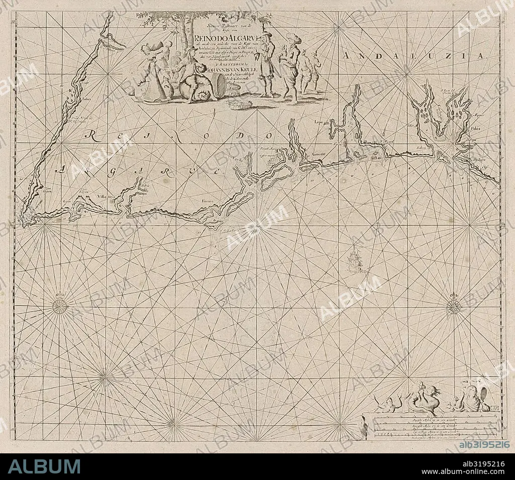
Sea map of part of the south coast of Portugal and Spain with the Algarve and Andalucia, Jan Luyken, Anonymous, Johannes van Keulen (I), 1681 - 1803.
| Compartir |
|---|
 Pinterest Pinterest |
 Twitter Twitter |
 Facebook Facebook |
 Copiar enlace Copiar enlace |
 Email Email |
|
Añadir a otro lightbox |
|
Añadir a otro lightbox |


¿Ya tienes cuenta? Iniciar sesión
¿No tienes cuenta? Regístrate
Compra esta imagen

Descripción:
Ver traducción automática
Sea map of part of the south coast of Portugal and Spain with the Algarve and Andalucia, Jan Luyken, Anonymous, Johannes van Keulen (I), 1681 - 1803
Crédito:
Album / quintlox
Autorizaciones:
Modelo: No - Propiedad: No
¿Preguntas relacionadas con los derechos?
¿Preguntas relacionadas con los derechos?
Tamaño imagen:
4191 x 3692 px | 44.3 MB
Tamaño impresión:
35.5 x 31.3 cm | 14.0 x 12.3 in (300 dpi)
Palabras clave:
ALEMAN • ANDALUCIA • ANONIMO • BRITANICO • BRITANICOS • CARTOGRAFIA • COMPAS • COSTA • ESCALA • ESPAÑA • ESPAÑOL • ESPEJO • FLOTA • FRANCES • GEOGRAFIA • GEOGRAFICO • HOMBRES • INGLES • JAN LUYKEN • MAPA • MAR • MARINA • MARINE • MARINERO • MEN • MUNDO • NORTE • OCEANO • PORTUGAL • SEA • SPAIN • SUR • TIERRA
