alb1644890
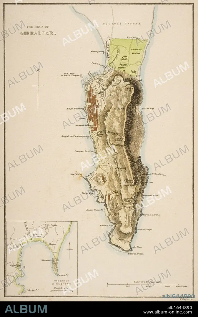
19th century map of The Rock of Gibraltar.
| Compartir |
|---|
 Pinterest Pinterest |
 Twitter Twitter |
 Facebook Facebook |
 Copiar enlace Copiar enlace |
 Email Email |
|
Añadir a otro lightbox |
|
Añadir a otro lightbox |


¿Ya tienes cuenta? Iniciar sesión
¿No tienes cuenta? Regístrate
Compra esta imagen

Descripción:
Ver traducción automática
19th century map of The Rock of Gibraltar
Crédito:
Album / Universal History Archive/Universal Images Group
Autorizaciones:
Modelo: No - Propiedad: No
¿Preguntas relacionadas con los derechos?
¿Preguntas relacionadas con los derechos?
Tamaño imagen:
3593 x 5470 px | 56.2 MB
Tamaño impresión:
30.4 x 46.3 cm | 12.0 x 18.2 in (300 dpi)
