alb9230768
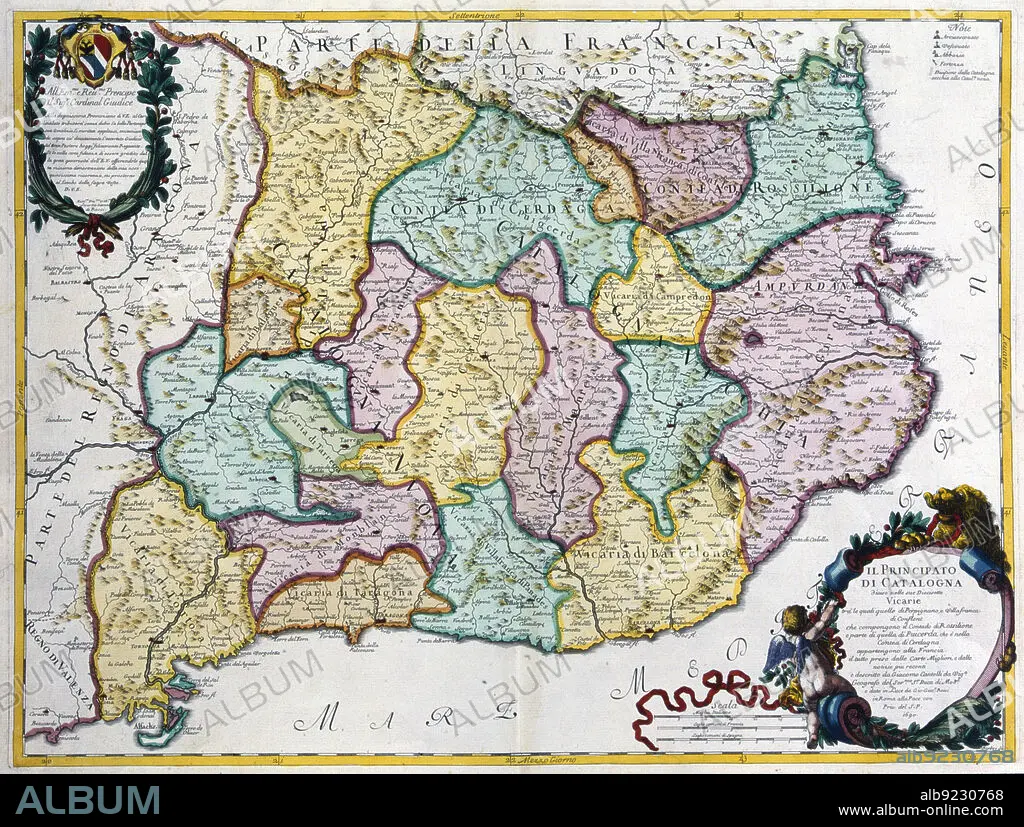
Coloured map of the Principality of Catalonia, Rome, 1690. Creator: Cantelli, G.; Barbey, A.; Rossi, G. G..
| Compartir |
|---|
 Pinterest Pinterest |
 Twitter Twitter |
 Facebook Facebook |
 Copiar enlace Copiar enlace |
 Email Email |
|
Añadir a otro lightbox |
|
Añadir a otro lightbox |


¿Ya tienes cuenta? Iniciar sesión
¿No tienes cuenta? Regístrate
Compra esta imagen

Título:
Coloured map of the Principality of Catalonia, Rome, 1690. Creator: Cantelli, G.; Barbey, A.; Rossi, G. G..
Descripción:
Ver traducción automática
Coloured map of the Principality of Catalonia. Rome, 1690.
Personas:
Crédito:
Album / Arxiu Delstres - Index/Heritage Images
Autorizaciones:
Modelo: No - Propiedad: No
¿Preguntas relacionadas con los derechos?
¿Preguntas relacionadas con los derechos?
Tamaño imagen:
6043 x 4566 px | 78.9 MB
Tamaño impresión:
51.2 x 38.7 cm | 20.1 x 15.2 in (300 dpi)
