alb5469205
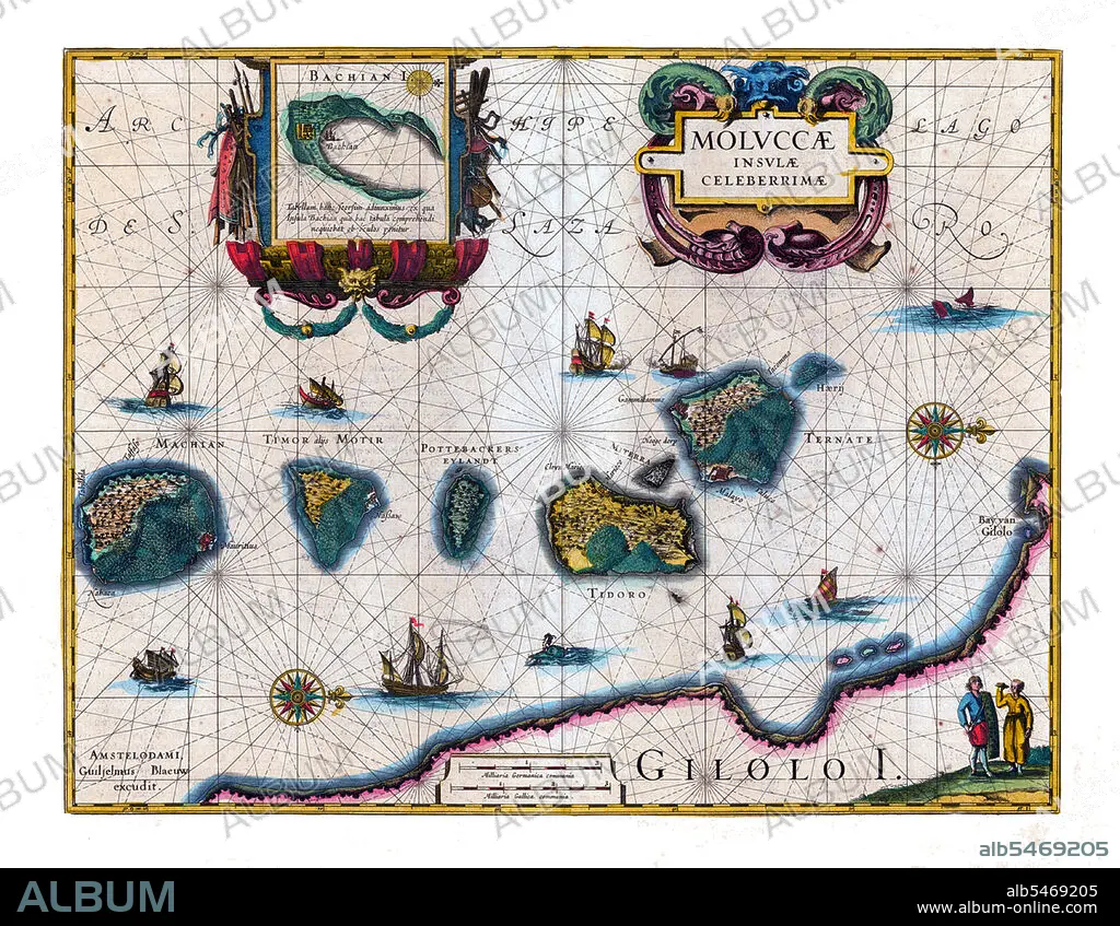
Probably the first published map of The Maluku Islands.
| Compartir |
|---|
 Pinterest Pinterest |
 Twitter Twitter |
 Facebook Facebook |
 Copiar enlace Copiar enlace |
 Email Email |
|
Añadir a otro lightbox |
|
Añadir a otro lightbox |


¿Ya tienes cuenta? Iniciar sesión
¿No tienes cuenta? Regístrate
Compra esta imagen

Título:
Probably the first published map of The Maluku Islands.
Descripción:
Ver traducción automática
The Maluku Islands (also known as the Moluccas, Moluccan Islands and the Spice Islands) are an archipelago that is part of Indonesia, and part of the larger Maritime Southeast Asia region. Tectonically they are located on the Halmahera Plate within the Molucca Sea Collision Zone. Geographically they are located east of Sulawesi (Celebes), west of New Guinea, and north and east of Timor. Most of the islands are mountainous, some with active volcanoes, and enjoy a wet climate. The vegetation of the small and narrow islands, encompassed by the sea, is very luxuriant; including rainforests, sago, rice and the famous spices - nutmeg, cloves and mace, among others.
Crédito:
Album / Pictures From History/Universal Images Group
Autorizaciones:
Modelo: No - Propiedad: No
¿Preguntas relacionadas con los derechos?
¿Preguntas relacionadas con los derechos?
Tamaño imagen:
4700 x 3643 px | 49.0 MB
Tamaño impresión:
39.8 x 30.8 cm | 15.7 x 12.1 in (300 dpi)
Palabras clave:
ART • ARTE • ARTES • ASIA • ASIATICO • CARTOGRAFIA • CARTOGRAFICO • DESCUBRIMIENTO • EXPLORACION • GRAFICO • HISTORICO • INDONESIA • INDONESIO • MAPA
