alb4201438
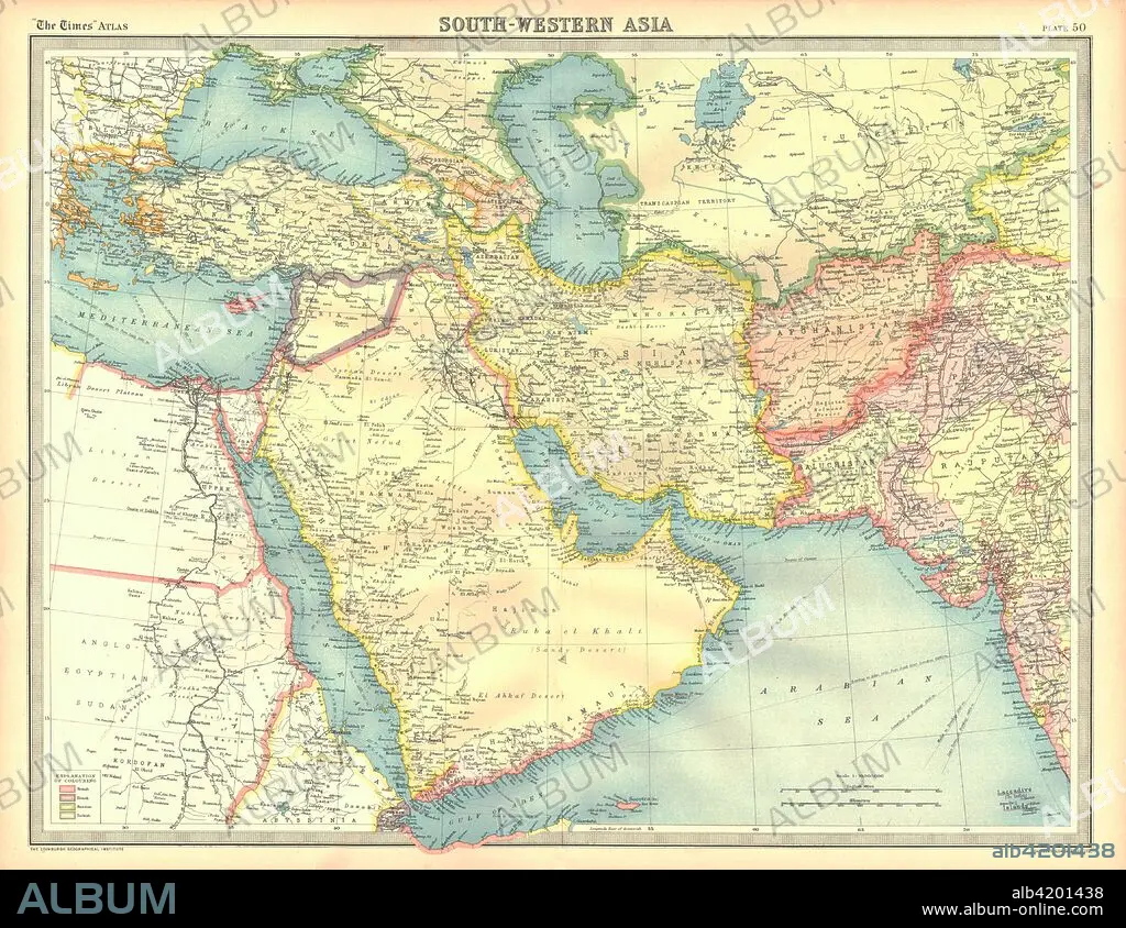
Political map of South Western Asia. Artist: Unknown.
| Compartir |
|---|
 Pinterest Pinterest |
 Twitter Twitter |
 Facebook Facebook |
 Copiar enlace Copiar enlace |
 Email Email |
|
Añadir a otro lightbox |
|
Añadir a otro lightbox |


¿Ya tienes cuenta? Iniciar sesión
¿No tienes cuenta? Regístrate
Compra esta imagen

Título:
Political map of South Western Asia. Artist: Unknown.
Descripción:
Ver traducción automática
Political map of South Western Asia. Map of the Near and Middle East, showing parts of East Africa and the Arabian Peninsula. Plate 50 from The Times Atlas.
Crédito:
Album / Heritage Images / The Print Collector
Autorizaciones:
Modelo: No - Propiedad: No
¿Preguntas relacionadas con los derechos?
¿Preguntas relacionadas con los derechos?
Tamaño imagen:
4600 x 3553 px | 46.8 MB
Tamaño impresión:
38.9 x 30.1 cm | 15.3 x 11.8 in (300 dpi)
Palabras clave:
AFGANISTAN • AFRICA • ARABIA SAUDITA • ASIA • CARTOGRAFIA • COLOR • CONTINENTE • EGIPTO • GEOGRAFIA • MAPA • MAR ARABIGO • MAR CASPIO • MAR MEDITERRANEO • MAR NEGRO • MAR ROJO • MAR • MEDITERRANEO • ORIENTE MEDIO • PAÍS
