alb3818331
Map of New Spain (Mexico), 16th Century
| Compartir |
|---|
 Pinterest Pinterest |
 Twitter Twitter |
 Facebook Facebook |
 Copiar enlace Copiar enlace |
 Email Email |
|
Añadir a otro lightbox |
|
Añadir a otro lightbox |


¿Ya tienes cuenta? Iniciar sesión
¿No tienes cuenta? Regístrate
Compra esta imagen

Título:
Map of New Spain (Mexico), 16th Century
Descripción:
Ver traducción automática
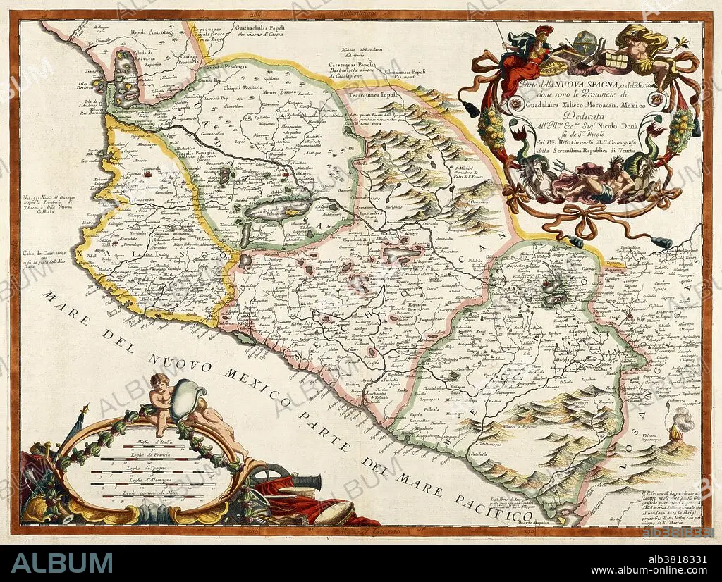
A 16th century map of New Spain or Mexico by Diego Gutiérrez, who was appointed cartographer of the Casa de la Contratacion (House of Trade) in 1554. Casa de la Contratacion was a government agency of the Spanish Empire that existed from the 16th to the 18th centuries and attempted to control all Spanish exploration and colonization.
Crédito:
Album / Science Source / Getty Research Institute
Autorizaciones:
Modelo: No - Propiedad: No
¿Preguntas relacionadas con los derechos?
¿Preguntas relacionadas con los derechos?
Tamaño imagen:
5064 x 3823 px | 55.4 MB
Tamaño impresión:
42.9 x 32.4 cm | 16.9 x 12.7 in (300 dpi)
Palabras clave:
AMERICA CENTRAL • AMÉRICA DEL NORTE • AMERICA LATINA • ARTE • COLONIAL • DIBUJO • ESPANOL • GRABADO • HISTORIA • HISTORICO • IBEROAMERICANA • IMPERIO ESPAÑOL • LATINOAMERICA • LATINOAMERICANA • LATINOAMERICANO / A • LATINOAMERICANO • LITOGRAFIA • MAPA ANTIGUO • MAPA • MEXICO • NORTEAMERICA • OBRA DE ARTE • SIGLO XVI
