alb9055670
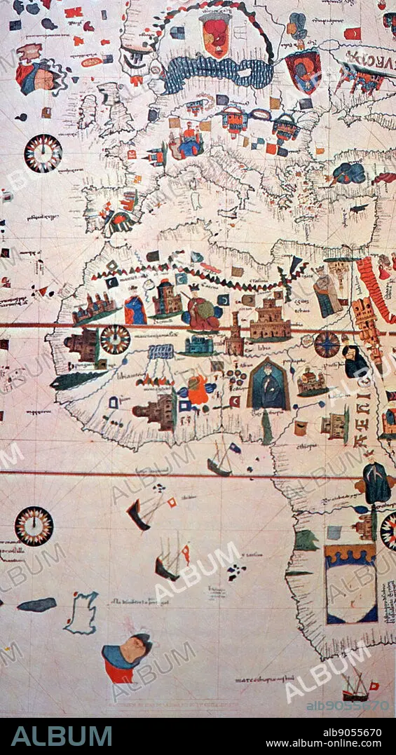
16th Century map depicting Africa and the Mediterranean Basin by Juan de la Cosa
| Compartir |
|---|
 Pinterest Pinterest |
 Twitter Twitter |
 Facebook Facebook |
 Copiar enlace Copiar enlace |
 Email Email |
|
Añadir a otro lightbox |
|
Añadir a otro lightbox |


¿Ya tienes cuenta? Iniciar sesión
¿No tienes cuenta? Regístrate
Compra esta imagen

Título:
16th Century map depicting Africa and the Mediterranean Basin by Juan de la Cosa
Descripción:
Ver traducción automática
16th Century map depicting Africa and the Mediterranean Basin by Juan de la Cosa. Juan de la Cosa (1450-1510) a Spanish navigator and cartographer, known for designing the earliest European world map that incorporated the territories of the Americas that were discovered during the 15th Century. Dated 15th Century
Crédito:
Album / World History Archive
Autorizaciones:
Modelo: No - Propiedad: No
¿Preguntas relacionadas con los derechos?
¿Preguntas relacionadas con los derechos?
Tamaño imagen:
3402 x 6165 px | 60.0 MB
Tamaño impresión:
28.8 x 52.2 cm | 11.3 x 20.6 in (300 dpi)
Palabras clave:
AFRICA • AFRICANO • CARTOGRAFIA • CARTOGRAFO • CRISTOBAL COLON • ESPANA • ESPANOL • ESPAÑA • EUROPEO • GEOGRAFIA • GLOBO • MAPA DEL MUNDO • MAPA MUNDI • MAPA • MAPAMUNDI • MEDITERRANEO • MUNDO • NAVEGANTE • TRIPULANTE
