alb3856204
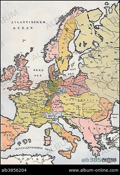
Map of Europe, 1809, historical illustration, 19th century.
| Compartir |
|---|
 Pinterest Pinterest |
 Twitter Twitter |
 Facebook Facebook |
 Copiar enlace Copiar enlace |
 Email Email |
|
Añadir a otro lightbox |
|
Añadir a otro lightbox |


¿Ya tienes cuenta? Iniciar sesión
¿No tienes cuenta? Regístrate
Compra esta imagen

Descripción:
Ver traducción automática
Map of Europe, 1809, historical illustration, 19th century
Crédito:
Album / ImageBroker / Heinz-Dieter Falkenstein
Autorizaciones:
Modelo: No - Propiedad: No
¿Preguntas relacionadas con los derechos?
¿Preguntas relacionadas con los derechos?
Tamaño imagen:
438 x 600 px | 769.9 KB
Tamaño impresión:
3.7 x 5.1 cm | 1.5 x 2.0 in (300 dpi)
