alb3982592
Map of London, 1700. Artist: Augustae Vindelicorum
| Compartir |
|---|
 Pinterest Pinterest |
 Twitter Twitter |
 Facebook Facebook |
 Copiar enlace Copiar enlace |
 Email Email |
|
Añadir a otro lightbox |
|
Añadir a otro lightbox |


¿Ya tienes cuenta? Iniciar sesión
¿No tienes cuenta? Regístrate
Compra esta imagen

Título:
Map of London, 1700. Artist: Augustae Vindelicorum
Descripción:
Ver traducción automática
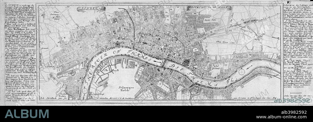
Map of London, 1700. The City of London, City of Westminster, River Thames, Lambeth, Southwark and surrounding areas; either side contains text in German.
Crédito:
Album / The London Archives (City of London)/Heritage Images
Autorizaciones:
Modelo: No - Propiedad: No
¿Preguntas relacionadas con los derechos?
¿Preguntas relacionadas con los derechos?
Tamaño imagen:
4306 x 1460 px | 18.0 MB
Tamaño impresión:
36.5 x 12.4 cm | 14.4 x 4.9 in (300 dpi)
Palabras clave:
BLANCO Y NEGRO • BRITANICO • CARTOGRAFIA • CIUDAD DE LONDRES • CIUDAD DE WESTMINSTER • GEOGRAFIA • GRABADO • GRAN BRETAÑA • GUILDHALL LIBRARY & ART GALLERY • INGLATERRA • INGLES • LONDRES • MAPA • MONOCHROME • MONOCROMO • PAÍS • RIO TAMESIS • RIO • SIGLO XVIII • SIGLO • TAMESIS • WESTMINSTER
