alb9658173
map, Acre, Israel, Third Crusade, Richard I, middle ages, 12th century, historical,
| Compartir |
|---|
 Pinterest Pinterest |
 Twitter Twitter |
 Facebook Facebook |
 Copiar enlace Copiar enlace |
 Email Email |
|
Añadir a otro lightbox |
|
Añadir a otro lightbox |


¿Ya tienes cuenta? Iniciar sesión
¿No tienes cuenta? Regístrate
Compra esta imagen

Título:
map, Acre, Israel, Third Crusade, Richard I, middle ages, 12th century, historical,
Descripción:
Ver traducción automática
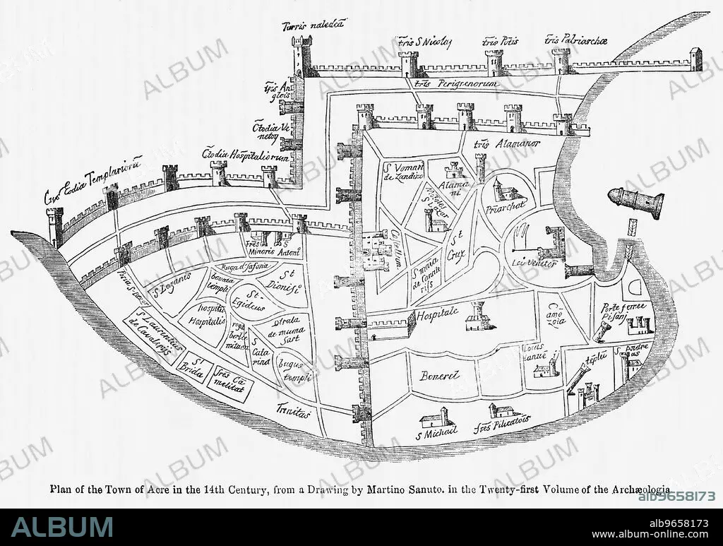
Plan of the Town of Acre in the 14th Century, from a Drawing by Martino Santo in the Twenty-Twenty-First Volume of the Archaeologia, Illustration from John Cassell's Illustrated History of England, Vol. I from the earliest period to the reign of Edward the Fourth, Cassell, Petter and Galpin, 1857
Crédito:
Album / Universal Images Group / JT Vintage / Glasshouse Images
Autorizaciones:
Modelo: No - Propiedad: No
¿Preguntas relacionadas con los derechos?
¿Preguntas relacionadas con los derechos?
Tamaño imagen:
5010 x 3522 px | 50.5 MB
Tamaño impresión:
42.4 x 29.8 cm | 16.7 x 11.7 in (300 dpi)
Palabras clave:
ARCHIVO • BLANCO Y NEGRO • CRUZADA TERCERA • DAVID • EDAD MEDIA • ESTILO RETRO • GEOGRAFIA • HISTORICO • HORIZONTAL • HORIZONTALES • ILUSTRACION • ISRAEL • MAPA • MEDIEVAL • NADIE • RICARDO I DE INGLATERRA • S. XII • SIGLO XII • SIN GENTE • VINTAGE
