alb5413019
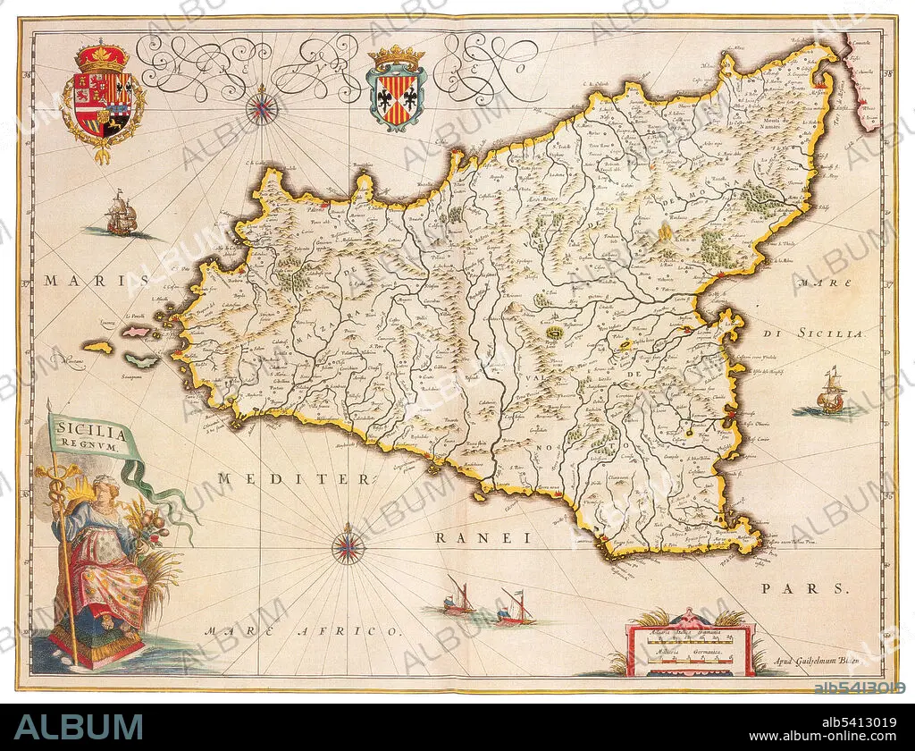
Joan Blaeu, Sicily Map, Italy, 17th Century
| Compartir |
|---|
 Pinterest Pinterest |
 Twitter Twitter |
 Facebook Facebook |
 Copiar enlace Copiar enlace |
 Email Email |
|
Añadir a otro lightbox |
|
Añadir a otro lightbox |


¿Ya tienes cuenta? Iniciar sesión
¿No tienes cuenta? Regístrate
Compra esta imagen

Título:
Joan Blaeu, Sicily Map, Italy, 17th Century
Descripción:
Ver traducción automática
Sicily is the largest island in the Mediterranean Sea. It is an autonomous region of Italy, in Southern Italy along with surrounding minor islands, officially referred to as Regione Siciliana. Sicily is located in the central Mediterranean Sea, south of the Italian Peninsula, from which it is separated by the narrow Strait of Messina. Its most prominent landmark is Mount Etna, the tallest active volcano in Europe, and one of the most active in the world. Joan Blaeu (1596-1673) was a Dutch cartographer, the son of cartographer Willem Blaeu. In 1635 they published the Atlas Novus (full title: Theatrum orbis terrarum, sive, Atlas novus) in two volumes. The Atlas Maior is the final version of Joan Blaeu's atlas, published in Amsterdam between 1662 and 1672, in Latin, French, Dutch, German and Spanish, containing 594 maps and around 3,000 pages of text. The Blaeu maps emphasized fine art and colours, being the most expensive of the time.
Crédito:
Album / Science Source
Autorizaciones:
Modelo: No - Propiedad: No
¿Preguntas relacionadas con los derechos?
¿Preguntas relacionadas con los derechos?
Tamaño imagen:
4275 x 3284 px | 40.2 MB
Tamaño impresión:
36.2 x 27.8 cm | 14.2 x 10.9 in (300 dpi)
Palabras clave:
ATLAS • CARTOGRAFIA • CARTOGRAFICO • DEL SUR • DORADO • EDAD • FAMOSO • GEOGRAFIA • GEOGRAFICA • GEOGRAFICO • HISTORIA • HISTORICO • HOLANDES • IMPORTANTE • ITALIA • ITALIANO • JOAN • MAPA • MAR • MEDITERRANEO • SICILIA • SICILY • SIGLO XVII • SIGLO
