alb8379166
HARRIS & EWING. Map of Europe, between 1913 and 1917. Creator: Harris & Ewing.
| Compartir |
|---|
 Pinterest Pinterest |
 Twitter Twitter |
 Facebook Facebook |
 Copiar enlace Copiar enlace |
 Email Email |
|
Añadir a otro lightbox |
|
Añadir a otro lightbox |


¿Ya tienes cuenta? Iniciar sesión
¿No tienes cuenta? Regístrate
Compra esta imagen

Autor:
Título:
Map of Europe, between 1913 and 1917. Creator: Harris & Ewing.
Descripción:
Ver traducción automática
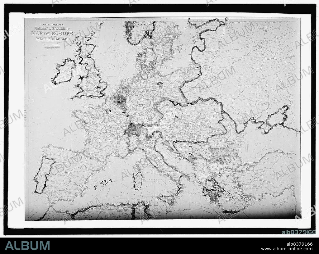
Map of Europe, between 1913 and 1917. 'Bartholomew's Railway & Steamship Map of Europe and the Mediterranean'.
Técnica/material:
Fotografía
Crédito:
Album / Heritage Art/Heritage Images
Autorizaciones:
Modelo: No - Propiedad: No
¿Preguntas relacionadas con los derechos?
¿Preguntas relacionadas con los derechos?
Tamaño imagen:
10153 x 7586 px | 220.4 MB
Tamaño impresión:
86.0 x 64.2 cm | 33.8 x 25.3 in (300 dpi)
Palabras clave:
AMERICA • AMERICANO • BARCO A VAPOR • BARCO DE VAPOR • BARCO • BARCOS • BARTOLOME • BLANCO Y NEGRO • COLECCION • CONTINENTE • DÉCADA DE 1910 • ESTADOS UNIDOS DE AMERICA • ESTADOS UNIDOS • EUROPA • FERROCARRIL • FOTOGRAFIA • HARRIS & EWING • KUNTZE • MAPA • MARTA DE BETANIA • NEGATIVO FOTOGRAFICO • PAÍS • PLACA FOTOGRÁFICA • RUTAS • SANTA MARTA • SIGLO XX • SIGLO • TRANSPORTE ACUATICO • TRANSPORTE • VIAJE
