alb9226418
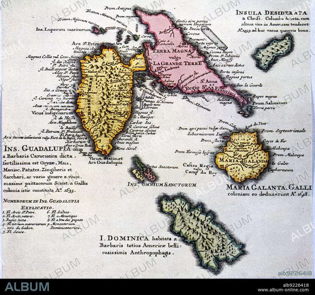
Map of the island of Guadalupe and other islands of the Antilles, 1680. Creator: Jaillot, Alexis-Hubert (1632-1712) .
| Compartir |
|---|
 Pinterest Pinterest |
 Twitter Twitter |
 Facebook Facebook |
 Copiar enlace Copiar enlace |
 Email Email |
|
Añadir a otro lightbox |
|
Añadir a otro lightbox |


¿Ya tienes cuenta? Iniciar sesión
¿No tienes cuenta? Regístrate
Compra esta imagen

Título:
Map of the island of Guadalupe and other islands of the Antilles, 1680. Creator: Jaillot, Alexis-Hubert (1632-1712) .
Descripción:
Ver traducción automática
Map of the island of Guadalupe and other islands of the Antilles, 1680.
Crédito:
Album / Image - Index/Heritage Images
Autorizaciones:
Modelo: No - Propiedad: No
¿Preguntas relacionadas con los derechos?
¿Preguntas relacionadas con los derechos?
Tamaño imagen:
5600 x 4955 px | 79.4 MB
Tamaño impresión:
47.4 x 42.0 cm | 18.7 x 16.5 in (300 dpi)
