alb3974858
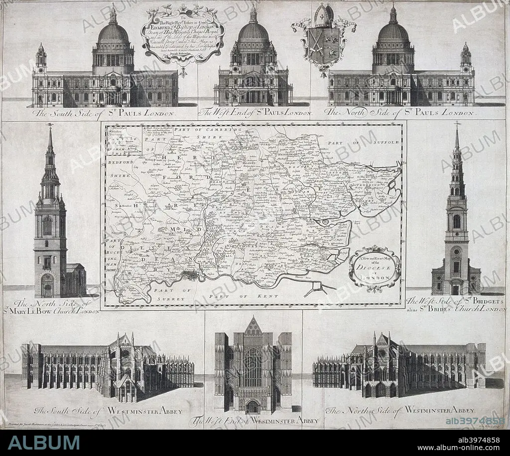
Map of the Diocese of London, 1720. Artist: John Harris
| Compartir |
|---|
 Pinterest Pinterest |
 Twitter Twitter |
 Facebook Facebook |
 Copiar enlace Copiar enlace |
 Email Email |
|
Añadir a otro lightbox |
|
Añadir a otro lightbox |


¿Ya tienes cuenta? Iniciar sesión
¿No tienes cuenta? Regístrate
Compra esta imagen

Título:
Map of the Diocese of London, 1720. Artist: John Harris
Descripción:
Ver traducción automática
Map of the Diocese of London, 1720. The map is surrounded by views of St Paul's Cathedral, Westminster Abbey, St Mary le Bow and St Bride's.
Personas:
Crédito:
Album / The London Archives (City of London)/Heritage Images
Autorizaciones:
Modelo: No - Propiedad: No
¿Preguntas relacionadas con los derechos?
¿Preguntas relacionadas con los derechos?
Tamaño imagen:
2727 x 2301 px | 18.0 MB
Tamaño impresión:
23.1 x 19.5 cm | 9.1 x 7.7 in (300 dpi)
Palabras clave:
ABADIA • ARQUITECTURA • BLANCO Y NEGRO • BRITANICO • CATEDRAL DE SAN PABLO • CATEDRAL • CHRISTIANITY • CHURCH • CRISTIANDAD • CRISTIANISMO • CRISTIANO • CRISTIANSMO • GRABADO • GRAN BRETAÑA • GUILDHALL LIBRARY & ART GALLERY • IGLESIA • INGLATERRA • INGLES • LONDRES • MAPA • MONOCHROME • MONOCROMO • PAÍS • RELIGION • RELIGIOSO • SIGLO XVIII • SIGLO • SIR CHRISTOPHER WREN • WREN
