alb1963307
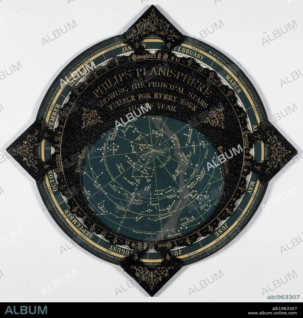
Philips Planisphere 1887. A map of the stars. . Philips’ Planisphere, showing the principal Stars visible for every hour in the year. London and Liverpool, England. Source: Maps 9.c.36. Language: English.
| Compartir |
|---|
 Pinterest Pinterest |
 Twitter Twitter |
 Facebook Facebook |
 Copiar enlace Copiar enlace |
 Email Email |
|
Añadir a otro lightbox |
|
Añadir a otro lightbox |


¿Ya tienes cuenta? Iniciar sesión
¿No tienes cuenta? Regístrate
Compra esta imagen

Descripción:
Ver traducción automática
Philips Planisphere 1887. A map of the stars. . Philips’ Planisphere, showing the principal Stars visible for every hour in the year. London and Liverpool, England. Source: Maps 9.c.36. Language: English.
Crédito:
Album / British Library
Autorizaciones:
Modelo: No - Propiedad: No
¿Preguntas relacionadas con los derechos?
¿Preguntas relacionadas con los derechos?
Tamaño imagen:
4018 x 4016 px | 46.2 MB
Tamaño impresión:
34.0 x 34.0 cm | 13.4 x 13.4 in (300 dpi)
Palabras clave:
ASTRONOMIA • CARTOGRAFIA • CIENCIA • CIENCIAS NATURALES • CONSTELACION • DOCUMENTO • ESTRELLA • GRAFICO • HISTORIA NATURAL • ILUSTRACION • MAPA • SISTEMA SOLAR
