alb3918684
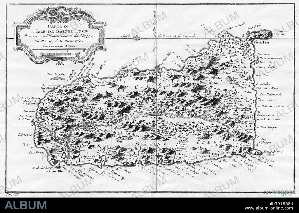
A map of St Lucia, the West Indies, 1758. Artist: N Bellun
| Compartir |
|---|
 Pinterest Pinterest |
 Twitter Twitter |
 Facebook Facebook |
 Copiar enlace Copiar enlace |
 Email Email |
|
Añadir a otro lightbox |
|
Añadir a otro lightbox |


¿Ya tienes cuenta? Iniciar sesión
¿No tienes cuenta? Regístrate
Compra esta imagen

Título:
A map of St Lucia, the West Indies, 1758. Artist: N Bellun
Descripción:
Ver traducción automática
A map of St Lucia, the West Indies, 1758.
Crédito:
Album / The Print Collector / Heritage Images
Autorizaciones:
Modelo: No - Propiedad: No
¿Preguntas relacionadas con los derechos?
¿Preguntas relacionadas con los derechos?
Tamaño imagen:
5143 x 3400 px | 50.0 MB
Tamaño impresión:
43.5 x 28.8 cm | 17.1 x 11.3 in (300 dpi)
Palabras clave:
BLANCO Y NEGRO • CARIBE • GEOGRAFIA • GOLFO DE MEXICO • GRABADO • INDIAS OCCIDENTALES • ISLA • ISLAS DE BARLOVENTO • MAPA • MAR • MONOCHROME • MONOCROMO • PEQUEÑAS ANTILLAS • PLATO DE COBRE • SANA LUCÍA
