alb3801843
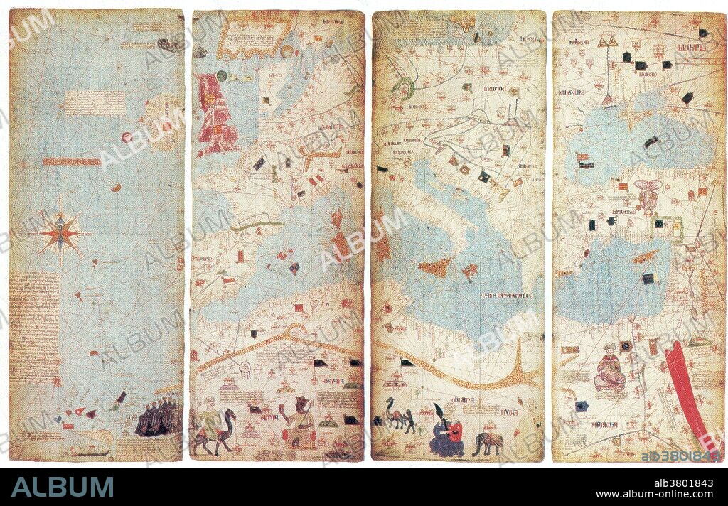
World Map, Catalan Atlas, 1375

|
Ajouter à une autre Lightbox |
|
Ajouter à une autre Lightbox |


Avez-vous déjà un compte? S'identifier
Vous n'avez pas de compte ? S'inscrire
Acheter cette image.
Sélectionnez l'usage:

Titre:
World Map, Catalan Atlas, 1375
Légende:
Voir la traduction automatique
The Catalan Atlas is the most important Catalan map of the medieval period (drawn and written in 1375). It was produced by the Majorcan cartographic school and is attributed to Cresques Abraham (also Abraham Cresques), a Jewish book illuminator who was self-described as being a master of the maps of the world as well as compasses. These four remaining leaves make up the actual map, which is divided into two principal parts. The map shows illustrations of many cities, whose political allegiances are symbolized by a flag. Christian cities are marked with a cross, other cities with a dome. Wavy blue vertical lines are used to symbolize oceans. Place names of important ports are transcribed in red, while others are indicated in black. Unlike many other nautical charts, the Catalan Atlas is read with the north at the bottom. As a result of this the maps are oriented from left to right, from the Far East to the Atlantic.
Crédit:
Album / Science Source / New York Public Library
Autorisations:
Taille de l'image:
4200 x 2702 px | 32.5 MB
Taille d'impression:
35.6 x 22.9 cm | 14.0 x 9.0 in (300 dpi)
Mots clés:
CARTE • CARTOGRAPHIE • CÉLÈBRE • CELEBRITE • GEOGRAPHIE • MAPPEMONDE • PLANISPHERE • SCIENCE: CARTOGRAPHIE • TOPOGRAPHIE


 Pinterest
 Twitter
 Facebook
 Copier le lien
 Email
Email
