alb5294490
Map of France.
| Partager |
|---|
 Pinterest Pinterest |
 Twitter Twitter |
 Facebook Facebook |
 Copier le lien Copier le lien |
 Email Email |
|
Ajouter à une autre Lightbox |
|
Ajouter à une autre Lightbox |


Avez-vous déjà un compte? S'identifier
Vous n'avez pas de compte ? S'inscrire
Acheter cette image

Titre:
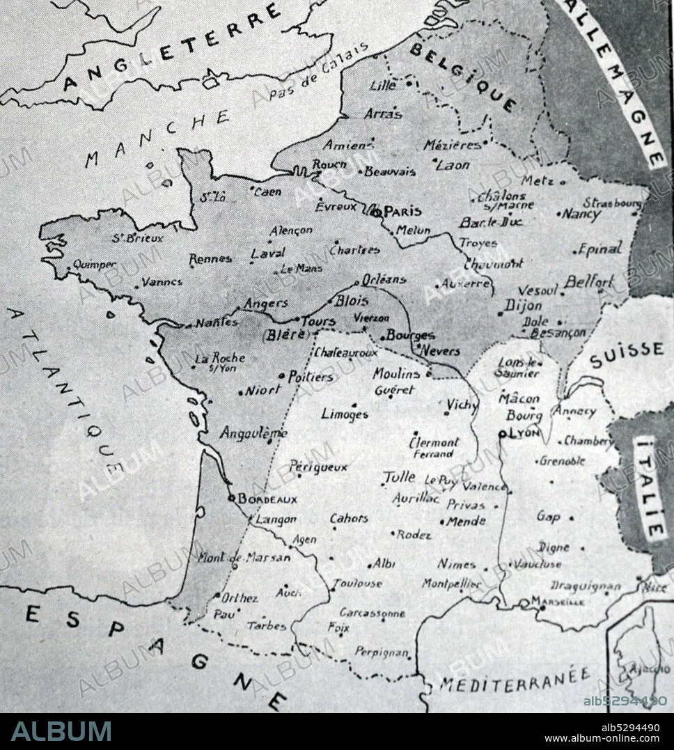
Map of France.
Légende:
Voir la traduction automatique
Black and white reproduction of a map of France with the Demarcation Line between Nazi occupied France to the North and Vichy France to the South. During World War II (1939-1945).
Crédit:
Album / Universal History Archive/Universal Images Group
Autorisations:
Modèle: Non - Propriété: Non
Questions sur les droits?
Questions sur les droits?
Taille de l'image:
4452 x 4710 px | 60.0 MB
Taille d'impression:
37.7 x 39.9 cm | 14.8 x 15.7 in (300 dpi)
Mots clés:
