alb4193580
Political map of North America. Artist: Unknown.
| Partager |
|---|
 Pinterest Pinterest |
 Twitter Twitter |
 Facebook Facebook |
 Copier le lien Copier le lien |
 Email Email |
|
Ajouter à une autre Lightbox |
|
Ajouter à une autre Lightbox |


Avez-vous déjà un compte? S'identifier
Vous n'avez pas de compte ? S'inscrire
Acheter cette image

Titre:
Political map of North America. Artist: Unknown.
Légende:
Voir la traduction automatique
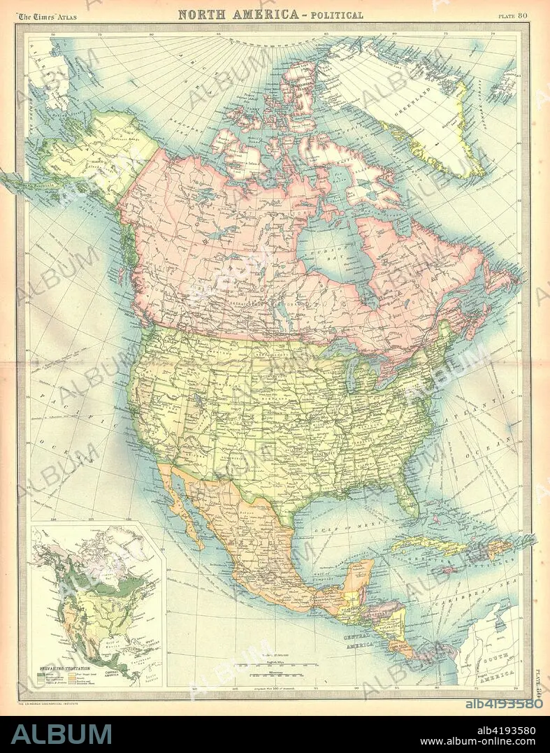
Political map of North America. Map showing Canada, the United States, Mexico, the Caribbean and Central America. Plate 80 from The Times Atlas.
Crédit:
Album / Heritage Images / The Print Collector
Autorisations:
Modèle: Non - Propriété: Non
Questions sur les droits?
Questions sur les droits?
Taille de l'image:
3555 x 4624 px | 47.0 MB
Taille d'impression:
30.1 x 39.1 cm | 11.8 x 15.4 in (300 dpi)
Mots clés:
CANADA • CARAIBE • CARAIBES • CARTE • CARTOGRAPHIE • COULEUR • GEOGRAPHIE • MEXICO • MEXIQUE • SCIENCE: CARTOGRAPHIE
