alb5407422
St. Helena, Map,1816
| Partager |
|---|
 Pinterest Pinterest |
 Twitter Twitter |
 Facebook Facebook |
 Copier le lien Copier le lien |
 Email Email |
|
Ajouter à une autre Lightbox |
|
Ajouter à une autre Lightbox |


Avez-vous déjà un compte? S'identifier
Vous n'avez pas de compte ? S'inscrire
Acheter cette image

Titre:
St. Helena, Map,1816
Légende:
Voir la traduction automatique
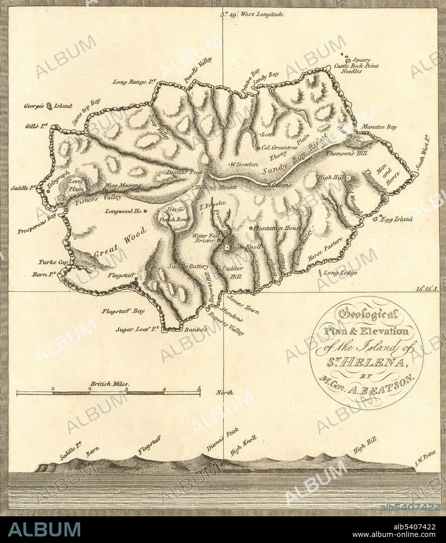
A map of St. Helena, the island in the middle of the South Atlantic where Napoleon Bonaparte was exiled and confined by the British from his defeat in 1815 until his death in 1821.
Personnalités:
Crédit:
Album / Science Source / Wellcome Images
Autorisations:
Modèle: Non - Propriété: Non
Questions sur les droits?
Questions sur les droits?
Taille de l'image:
3116 x 3605 px | 32.1 MB
Taille d'impression:
26.4 x 30.5 cm | 10.4 x 12.0 in (300 dpi)
Mots clés:
