alb4075135
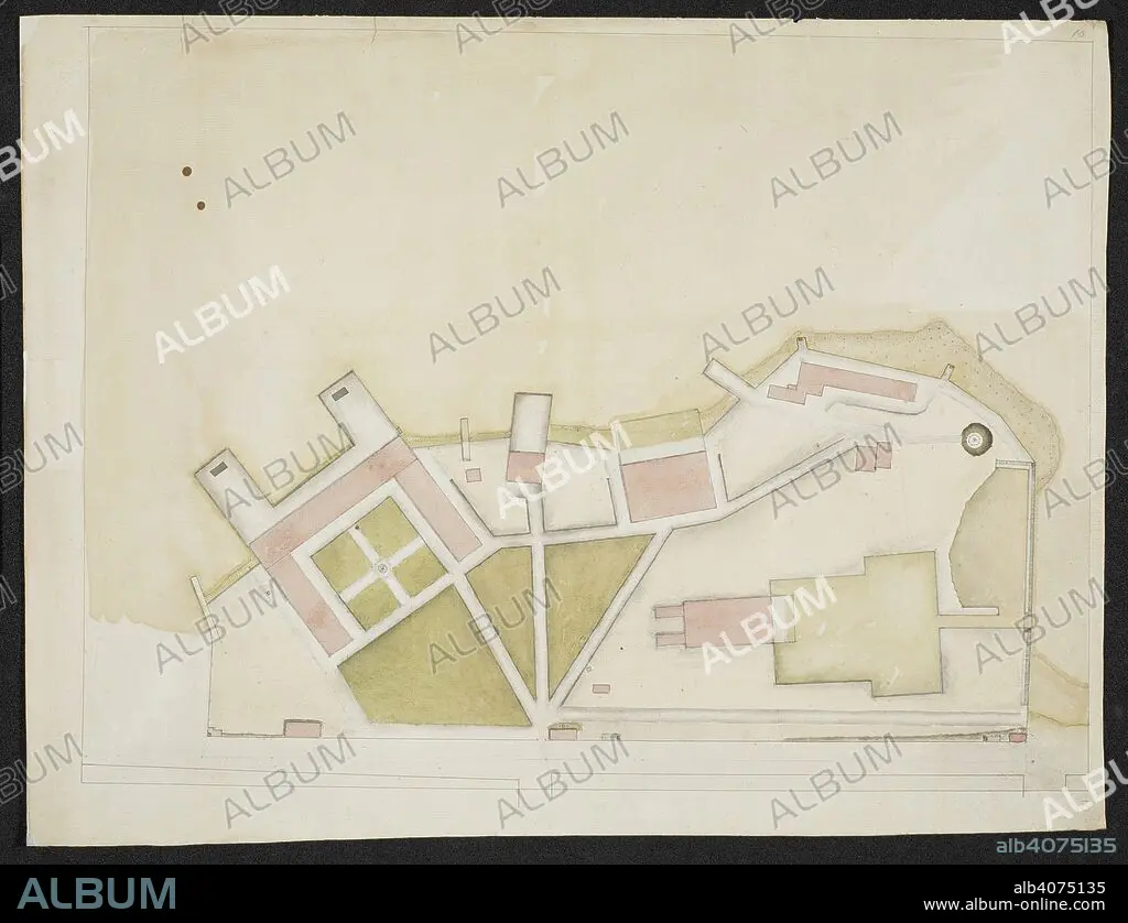
Plan of a structure, comprising of several buildings on a coast. SIXTY-SEVEN Charts and maps illustrating the voyages and surveys of Capt. James Cook, R.N., and other discoverers; circ. 1760- 1780. c 1760-1780. Source: Add. 31360, no.10.
| Partager |
|---|
 Pinterest Pinterest |
 Twitter Twitter |
 Facebook Facebook |
 Copier le lien Copier le lien |
 Email Email |
|
Ajouter à une autre Lightbox |
|
Ajouter à une autre Lightbox |


Avez-vous déjà un compte? S'identifier
Vous n'avez pas de compte ? S'inscrire
Acheter cette image.
Sélectionnez l'usage:

Auteur: JAMES COOK (1728-1779)
Légende: Voir la traduction automatique
Plan of a structure, comprising of several buildings on a coast. SIXTY-SEVEN Charts and maps illustrating the voyages and surveys of Capt. James Cook, R.N., and other discoverers; circ. 1760- 1780. c 1760-1780. Source: Add. 31360, no.10.
Plan of a structure, comprising of several buildings on a coast. SIXTY-SEVEN Charts and maps illustrating the voyages and surveys of Capt. James Cook, R.N., and other discoverers; circ. 1760- 1780. c 1760-1780. Source: Add. 31360, no.10.
Crédit: Album / British Library
Autorisations: ? Autorisation de modèle: Non - ? Autorisation de propriété: Non
Questions sur les droits?
Questions sur les droits?
Taille de l'image: 8439 × 6469 px | 156.2 MB
Taille d'impression: 71.5 × 54.8 cm | 3322.4 × 2546.9 in (300 dpi)
Mots clés: 18 18E 18EME XVIII XVIIIE XVIIIEME SIECLE • 18E SIECLE • 18EME S • CARTE • CARTOGRAPHIE • CHERCHEUR • COOK, JAMES • DECOUVREUR • DIX-HUITIÈME SIÈCLE • EXPLORATEUR • EXPLORATION • SCIENCE: CARTOGRAPHIE • TRANSPORT VOYAGE • TRAVERSÉE • VOYAGE • XVIIIE SIECLE
