alb1644890
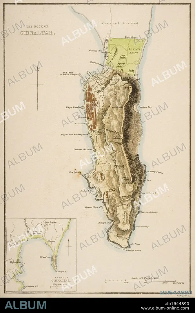
19th century map of The Rock of Gibraltar.
| Partager |
|---|
 Pinterest Pinterest |
 Twitter Twitter |
 Facebook Facebook |
 Copier le lien Copier le lien |
 Email Email |
|
Ajouter à une autre Lightbox |
|
Ajouter à une autre Lightbox |


Avez-vous déjà un compte? S'identifier
Vous n'avez pas de compte ? S'inscrire
Acheter cette image

Légende:
Voir la traduction automatique
19th century map of The Rock of Gibraltar
Crédit:
Album / Universal History Archive/Universal Images Group
Autorisations:
Modèle: Non - Propriété: Non
Questions sur les droits?
Questions sur les droits?
Taille de l'image:
3593 x 5470 px | 56.2 MB
Taille d'impression:
30.4 x 46.3 cm | 12.0 x 18.2 in (300 dpi)
Mots clés:
BAIE • CARTE (GEOGRAPHIE) • CARTE GEOGRAPHIQUE • CARTE • CARTOGRAPHIE • COULEUR • DESSIN PLANS • ESPAGNE • GEOGRAPHIE • KEN • PLAN (CARTOGRAPHIE) • PLANS • SCIENCE: CARTOGRAPHIE • VERTICALE
