alb2602125
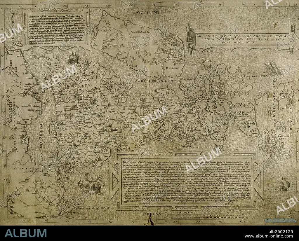
Map of the cities of North Africa. 16th century.
| Partager |
|---|
 Pinterest Pinterest |
 Twitter Twitter |
 Facebook Facebook |
 Copier le lien Copier le lien |
 Email Email |
|
Ajouter à une autre Lightbox |
|
Ajouter à une autre Lightbox |


Avez-vous déjà un compte? S'identifier
Vous n'avez pas de compte ? S'inscrire
Acheter cette image

Légende:
Voir la traduction automatique
Map of the cities of North Africa. 16th century.
Crédit:
Album / Prisma
Autorisations:
Modèle: Non - Propriété: Non
Questions sur les droits?
Questions sur les droits?
Taille de l'image:
5722 x 4317 px | 70.7 MB
Taille d'impression:
48.4 x 36.6 cm | 19.1 x 14.4 in (300 dpi)
Mots clés:
16E SIECLE • 16EME S • ANGLETERRE, HISTOIRE • ART (CATÉGORIE) • ART • CARTE • CARTOGRAPHIE • EUROPE • FRAVURE • GRAVURE • HISOIRE • HISTOIRE ANGLETERRE • HISTOIRE • HISTORIQUE • ILE • ÎLES • IRELANDE • IRLANDE • MEDITERRANEAN • MÉDITERRANÉE • MÉDITERRANNÉE • NORD • SCIENCE: CARTOGRAPHIE • SEIZIÈME SIÈCLE • XVIE SIECLE
