alb9230768
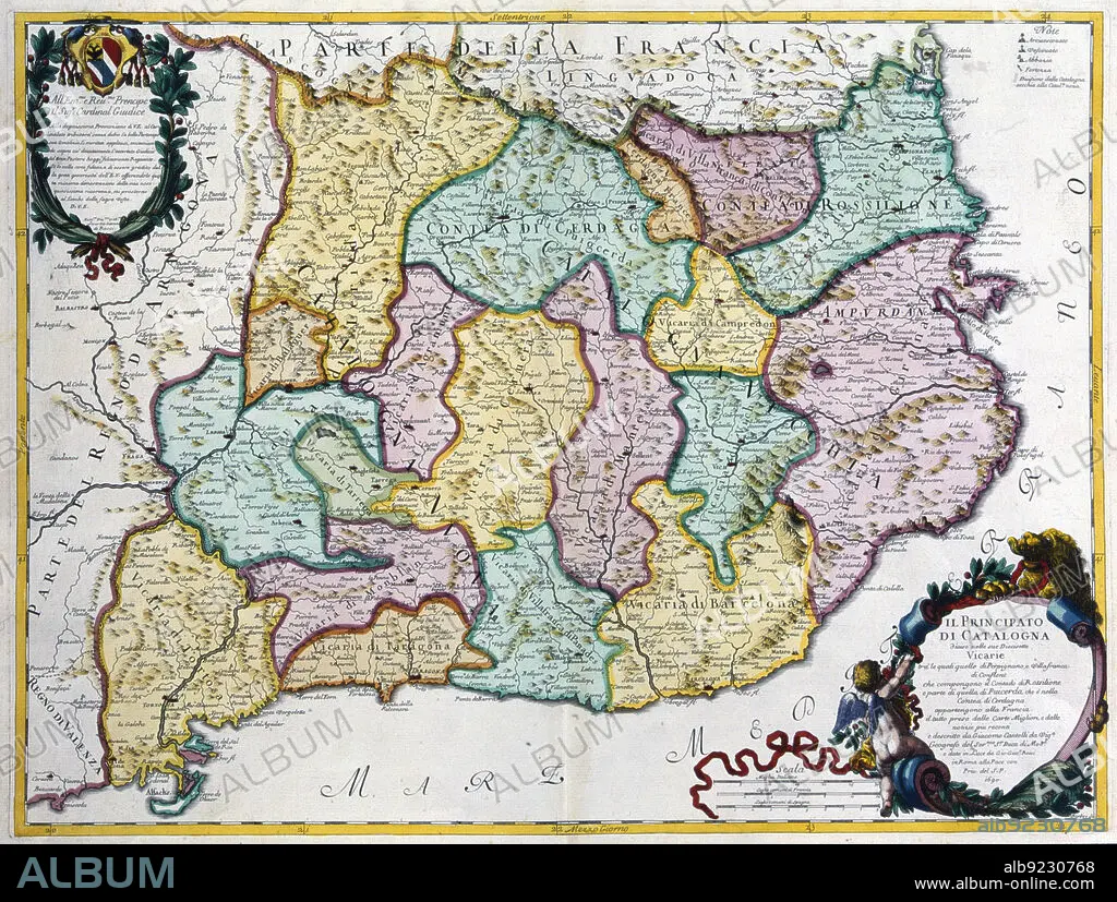
Coloured map of the Principality of Catalonia, Rome, 1690. Creator: Cantelli, G.; Barbey, A.; Rossi, G. G..
| Partager |
|---|
 Pinterest Pinterest |
 Twitter Twitter |
 Facebook Facebook |
 Copier le lien Copier le lien |
 Email Email |
|
Ajouter à une autre Lightbox |
|
Ajouter à une autre Lightbox |


Avez-vous déjà un compte? S'identifier
Vous n'avez pas de compte ? S'inscrire
Acheter cette image

Titre:
Coloured map of the Principality of Catalonia, Rome, 1690. Creator: Cantelli, G.; Barbey, A.; Rossi, G. G..
Légende:
Voir la traduction automatique
Coloured map of the Principality of Catalonia. Rome, 1690.
Personnalités:
Crédit:
Album / Arxiu Delstres - Index/Heritage Images
Autorisations:
Modèle: Non - Propriété: Non
Questions sur les droits?
Questions sur les droits?
Taille de l'image:
6043 x 4566 px | 78.9 MB
Taille d'impression:
51.2 x 38.7 cm | 20.1 x 15.2 in (300 dpi)
