alb4201438
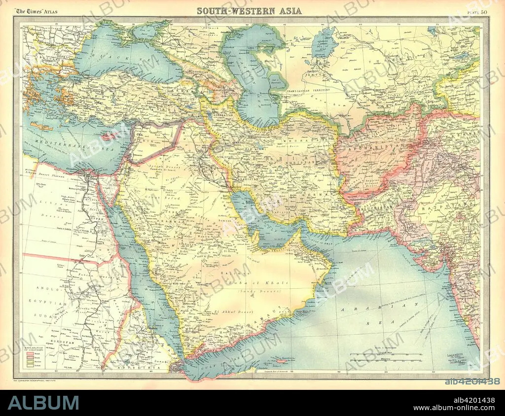
Political map of South Western Asia. Artist: Unknown.
| Partager |
|---|
 Pinterest Pinterest |
 Twitter Twitter |
 Facebook Facebook |
 Copier le lien Copier le lien |
 Email Email |
|
Ajouter à une autre Lightbox |
|
Ajouter à une autre Lightbox |


Avez-vous déjà un compte? S'identifier
Vous n'avez pas de compte ? S'inscrire
Acheter cette image

Titre:
Political map of South Western Asia. Artist: Unknown.
Légende:
Voir la traduction automatique
Political map of South Western Asia. Map of the Near and Middle East, showing parts of East Africa and the Arabian Peninsula. Plate 50 from The Times Atlas.
Crédit:
Album / Heritage Images / The Print Collector
Autorisations:
Modèle: Non - Propriété: Non
Questions sur les droits?
Questions sur les droits?
Taille de l'image:
4600 x 3553 px | 46.8 MB
Taille d'impression:
38.9 x 30.1 cm | 15.3 x 11.8 in (300 dpi)
Mots clés:
AFRIQUE • ASIE • ASIE, CONTINENT • CARTE • CARTOGRAPHIE • CONTINENT ASIE • COULEUR • GEOGRAPHIE • MÉDITERRANÉE • SCIENCE: CARTOGRAPHIE
