alb3156332
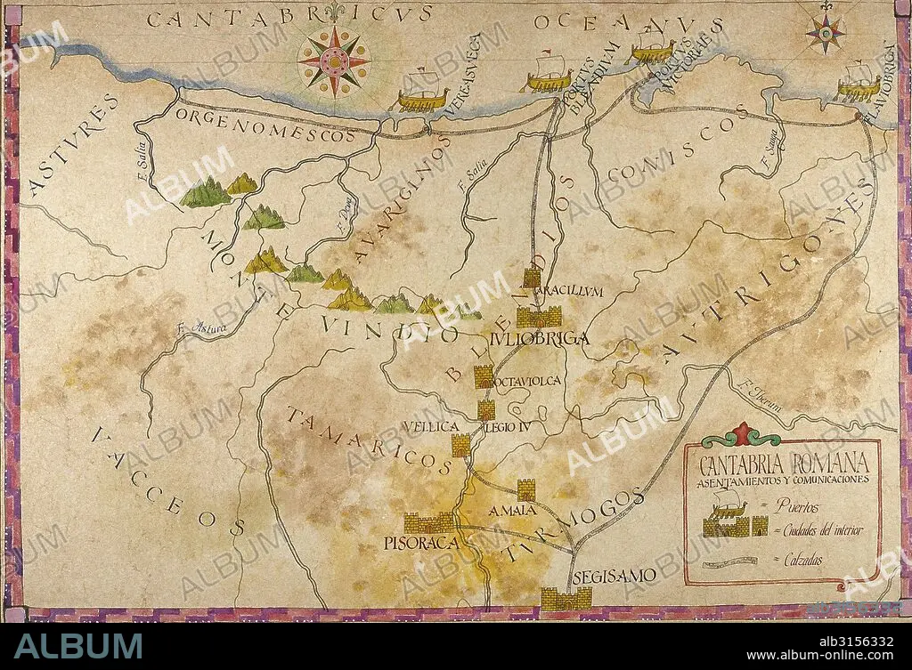
History of the Roman Empire. Romanisation of the Iberian Peninsula. Map of Cantabria. Roman Times.
| Partager |
|---|
 Pinterest Pinterest |
 Twitter Twitter |
 Facebook Facebook |
 Copier le lien Copier le lien |
 Email Email |
|
Ajouter à une autre Lightbox |
|
Ajouter à une autre Lightbox |


Avez-vous déjà un compte? S'identifier
Vous n'avez pas de compte ? S'inscrire
Acheter cette image

Légende:
Voir la traduction automatique
History of the Roman Empire. Romanisation of the Iberian Peninsula. Map of Cantabria. Roman Times.
Crédit:
Album / Prisma
Autorisations:
Modèle: Non - Propriété: Non
Questions sur les droits?
Questions sur les droits?
Taille de l'image:
5279 x 3608 px | 54.5 MB
Taille d'impression:
44.7 x 30.5 cm | 17.6 x 12.0 in (300 dpi)
Mots clés:
ANCIEN • ANTIQUE • ARCHEOLOGIE FOUILLES • ART ROMAIN • AVION • AVIONS • BATEAU EMBARCATIONS • CARTE (GEOGRAPHIE) • CARTE GEOGRAPHIQUE • CARTE • CARTOGRAPHIE • DESSIN PLANS • EMBARCATIONS • EMBARQUEMENT • EMPIRE ROMAIN • EPOQUE ROMAINE • ESPAGNE • EUROPE • EXCAVATIONS • FOUILLE • FOUILLES • HISOIRE • HISTOIRE • INTEGRATION • MACHINE VOLANTE • MER • NAVIGATION MARITIME ET FLUVIALE • NAVIGATION • OCEAN • PAYSAGE MARITIME • PERIODE: ROME IMPERIALE • PLAN (CARTOGRAPHIE) • PLANS • ROMAIN • ROME, IMPERIALE • ROSE DES VENTS • SCIENCE: CARTOGRAPHIE • TRANSPORT AVION
