alb1652926
Map of Palestine, engraving 1830
| Partager |
|---|
 Pinterest Pinterest |
 Twitter Twitter |
 Facebook Facebook |
 Copier le lien Copier le lien |
 Email Email |
|
Ajouter à une autre Lightbox |
|
Ajouter à une autre Lightbox |


Avez-vous déjà un compte? S'identifier
Vous n'avez pas de compte ? S'inscrire
Acheter cette image

Titre:
Map of Palestine, engraving 1830
Légende:
Voir la traduction automatique
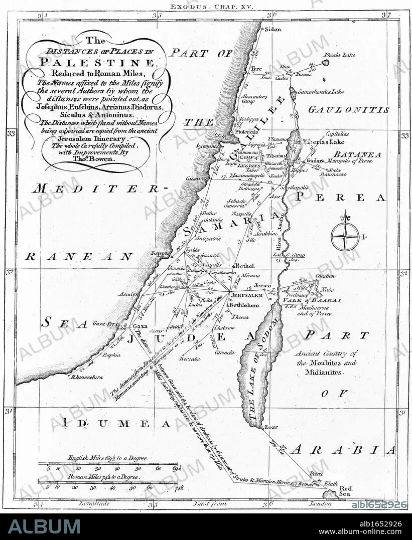
Map of Palestine showing distances in Roman miles. Based on various ancient authors and the " Jerusalem Itinerary". Engraving c1830
Crédit:
Album / Universal Images Group / Universal History Archive
Autorisations:
Modèle: Non - Propriété: Non
Questions sur les droits?
Questions sur les droits?
Taille de l'image:
3929 x 4900 px | 55.1 MB
Taille d'impression:
33.3 x 41.5 cm | 13.1 x 16.3 in (300 dpi)
Mots clés:
ANCIEN TESTAMENT • BIBLE AT • BIBLE • CARTE (GEOGRAPHIE) • CARTE GEOGRAPHIQUE • CARTE • CHRISTIANISME • CULTE: JUIF • DESSIN PLANS • EMPREINTE • FRAVURE • GEOGRAPHIE • GRAVURE • IDEE • ILLUSTRATION • JUDAISME • JUIF, CULTE • LITTÉRATEUR • LITTERATURE • PALESTINE • PENSEE • PLAN (CARTOGRAPHIE) • PLANS • RELIGION JUIVE • RELIGION • RELIGION: JUDAISME • RELIGION: JUIVE • VERTICALE
