alb1648613
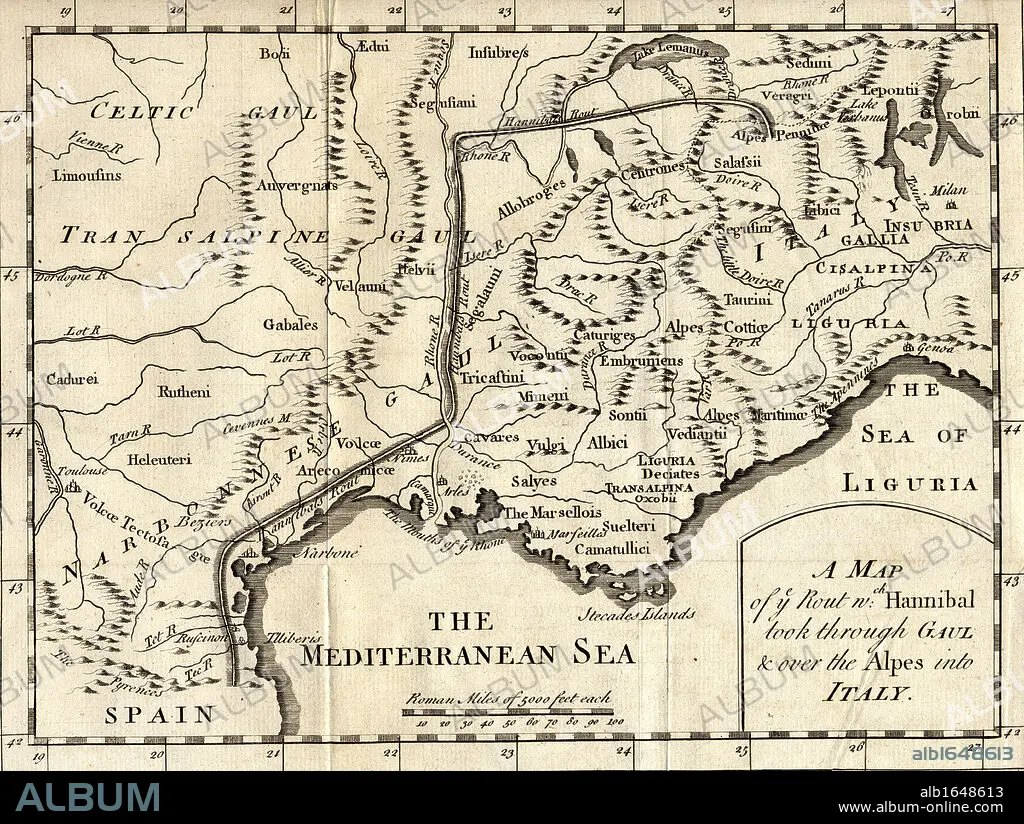
A map of the route Hannibal took through Gaul and over the Alps into Italy.
| Partager |
|---|
 Pinterest Pinterest |
 Twitter Twitter |
 Facebook Facebook |
 Copier le lien Copier le lien |
 Email Email |
|
Ajouter à une autre Lightbox |
|
Ajouter à une autre Lightbox |


Avez-vous déjà un compte? S'identifier
Vous n'avez pas de compte ? S'inscrire
Acheter cette image

Légende:
Voir la traduction automatique
A map of the route Hannibal took through Gaul and over the Alps into Italy
Crédit:
Album / Universal Images Group / Universal History Archive
Autorisations:
Modèle: Non - Propriété: Non
Questions sur les droits?
Questions sur les droits?
Taille de l'image:
5298 x 3988 px | 60.4 MB
Taille d'impression:
44.9 x 33.8 cm | 17.7 x 13.3 in (300 dpi)
Mots clés:
ALPES • CARTE (GEOGRAPHIE) • CARTE GEOGRAPHIQUE • CARTE • CARTOGRAPHIE • DESSIN PLANS • GEOGRAPHIE • HANNIBAL • HORIZONTALE • ILLUSTRATION • ITALIE • KEN • NOIR ET BLANC • PLAN (CARTOGRAPHIE) • PLANS • SCIENCE: CARTOGRAPHIE
