alb3818331
Map of New Spain (Mexico), 16th Century
| Partager |
|---|
 Pinterest Pinterest |
 Twitter Twitter |
 Facebook Facebook |
 Copier le lien Copier le lien |
 Email Email |
|
Ajouter à une autre Lightbox |
|
Ajouter à une autre Lightbox |


Avez-vous déjà un compte? S'identifier
Vous n'avez pas de compte ? S'inscrire
Acheter cette image

Titre:
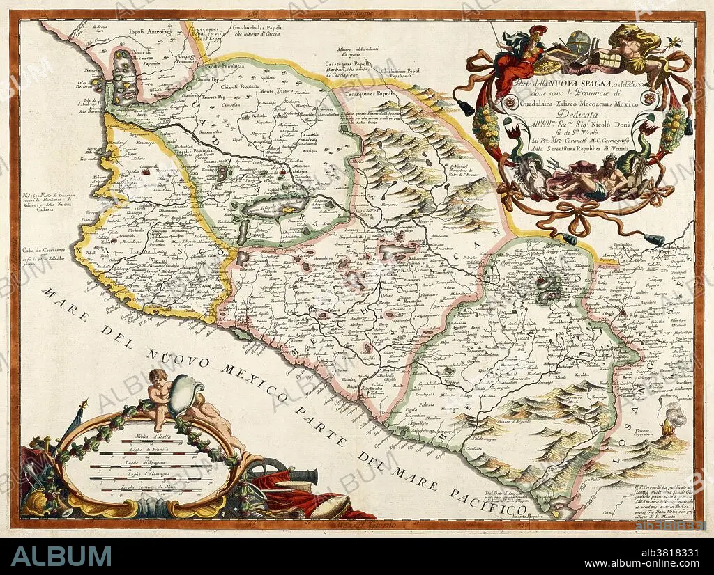
Map of New Spain (Mexico), 16th Century
Légende:
Voir la traduction automatique
A 16th century map of New Spain or Mexico by Diego Gutiérrez, who was appointed cartographer of the Casa de la Contratacion (House of Trade) in 1554. Casa de la Contratacion was a government agency of the Spanish Empire that existed from the 16th to the 18th centuries and attempted to control all Spanish exploration and colonization.
Crédit:
Album / Science Source / Getty Research Institute
Autorisations:
Modèle: Non - Propriété: Non
Questions sur les droits?
Questions sur les droits?
Taille de l'image:
5064 x 3823 px | 55.4 MB
Taille d'impression:
42.9 x 32.4 cm | 16.9 x 12.7 in (300 dpi)
Mots clés:
16E SIECLE • 16EME S • LITHOGRAPHIE • MEXICO • MEXIQUE • SEIZIÈME SIÈCLE • SUD AMERICAIN • XVIE SIECLE
