alb4197071
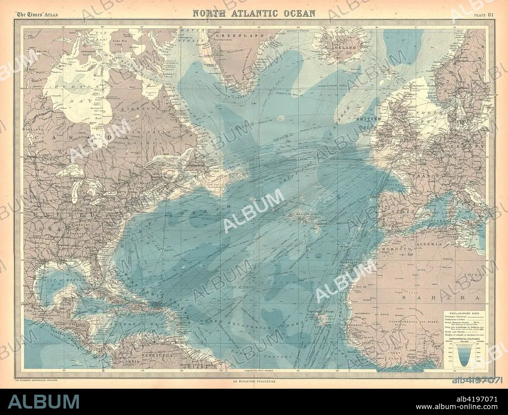
Map of the North Atlantic Ocean. Artist: Unknown.
| Partager |
|---|
 Pinterest Pinterest |
 Twitter Twitter |
 Facebook Facebook |
 Copier le lien Copier le lien |
 Email Email |
|
Ajouter à une autre Lightbox |
|
Ajouter à une autre Lightbox |


Avez-vous déjà un compte? S'identifier
Vous n'avez pas de compte ? S'inscrire
Acheter cette image

Titre:
Map of the North Atlantic Ocean. Artist: Unknown.
Légende:
Voir la traduction automatique
Map of the North Atlantic Ocean. Map showing western Europen and Iceland, Greenland, eastern Canada and the United States, Central American and the Caribbean, and West Africa. Plate 81 from The Times Atlas.
Crédit:
Album / Heritage Images / The Print Collector
Autorisations:
Modèle: Non - Propriété: Non
Questions sur les droits?
Questions sur les droits?
Taille de l'image:
4630 x 3547 px | 47.0 MB
Taille d'impression:
39.2 x 30.0 cm | 15.4 x 11.8 in (300 dpi)
Mots clés:
CANADA • CARAIBE • CARAIBES • CARTE • CARTOGRAPHIE • COULEUR • GEOGRAPHIE • GROENLAND • MER • OCEAN ATLANTIQUE • OCEAN • PAYSAGE MARITIME • SCIENCE: CARTOGRAPHIE
