alb9055670
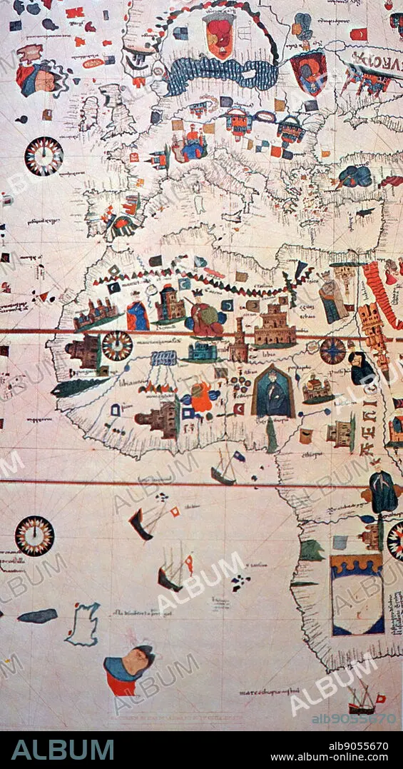
16th Century map depicting Africa and the Mediterranean Basin by Juan de la Cosa
| Partager |
|---|
 Pinterest Pinterest |
 Twitter Twitter |
 Facebook Facebook |
 Copier le lien Copier le lien |
 Email Email |
|
Ajouter à une autre Lightbox |
|
Ajouter à une autre Lightbox |


Avez-vous déjà un compte? S'identifier
Vous n'avez pas de compte ? S'inscrire
Acheter cette image

Titre:
16th Century map depicting Africa and the Mediterranean Basin by Juan de la Cosa
Légende:
Voir la traduction automatique
16th Century map depicting Africa and the Mediterranean Basin by Juan de la Cosa. Juan de la Cosa (1450-1510) a Spanish navigator and cartographer, known for designing the earliest European world map that incorporated the territories of the Americas that were discovered during the 15th Century. Dated 15th Century
Crédit:
Album / World History Archive
Autorisations:
Modèle: Non - Propriété: Non
Questions sur les droits?
Questions sur les droits?
Taille de l'image:
3402 x 6165 px | 60.0 MB
Taille d'impression:
28.8 x 52.2 cm | 11.3 x 20.6 in (300 dpi)
Mots clés:
AFRIQUE • CARTE • CARTOGRAPHE • CARTOGRAPHIE • ESPAGNE • EUROPÉEN • GEOGRAPHIE • GLOBE • MAPPEMONDE • MONDE • NAVIGATEUR • PLANISPHERE • SCIENCE: CARTOGRAPHIE
