alb3856204
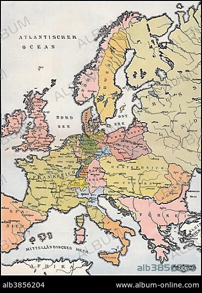
Map of Europe, 1809, historical illustration, 19th century.
| Partager |
|---|
 Pinterest Pinterest |
 Twitter Twitter |
 Facebook Facebook |
 Copier le lien Copier le lien |
 Email Email |
|
Ajouter à une autre Lightbox |
|
Ajouter à une autre Lightbox |


Avez-vous déjà un compte? S'identifier
Vous n'avez pas de compte ? S'inscrire
Acheter cette image

Légende:
Voir la traduction automatique
Map of Europe, 1809, historical illustration, 19th century
Crédit:
Album / ImageBroker / Heinz-Dieter Falkenstein
Autorisations:
Modèle: Non - Propriété: Non
Questions sur les droits?
Questions sur les droits?
Taille de l'image:
438 x 600 px | 769.9 KB
Taille d'impression:
3.7 x 5.1 cm | 1.5 x 2.0 in (300 dpi)
Mots clés:
