alb4126256
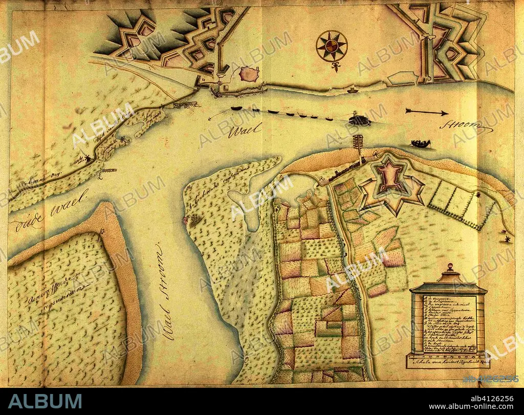
SAMUEL DU RY DE CHAMPDORÉ. Map of Nijmegen and surroundings, ca. 1701-1715. Draughtsman: Samuel Du Ry de Champdoré. Dating: 1701 - 1715. Place: Netherlands. Measurements: h 510 mm × w 680 mm.
| Partager |
|---|
 Pinterest Pinterest |
 Twitter Twitter |
 Facebook Facebook |
 Copier le lien Copier le lien |
 Email Email |
|
Ajouter à une autre Lightbox |
|
Ajouter à une autre Lightbox |


Avez-vous déjà un compte? S'identifier
Vous n'avez pas de compte ? S'inscrire
Acheter cette image

Auteur:
Légende:
Voir la traduction automatique
Map of Nijmegen and surroundings, ca. 1701-1715. Draughtsman: Samuel Du Ry de Champdoré. Dating: 1701 - 1715. Place: Netherlands. Measurements: h 510 mm × w 680 mm.
Technique/matériel:
PAPEL
Musée:
Rijksmuseum, Amsterdam
Emplacement:
PAYS-BAS
Crédit:
Album
Autorisations:
Modèle: Non - Propriété: Non
Questions sur les droits?
Questions sur les droits?
Taille de l'image:
5981 x 4428 px | 75.8 MB
Taille d'impression:
50.6 x 37.5 cm | 19.9 x 14.8 in (300 dpi)
Mots clés:
