alb9203080
World Map with Prime Meridian
| Partager |
|---|
 Pinterest Pinterest |
 Twitter Twitter |
 Facebook Facebook |
 Copier le lien Copier le lien |
 Email Email |
|
Ajouter à une autre Lightbox |
|
Ajouter à une autre Lightbox |


Avez-vous déjà un compte? S'identifier
Vous n'avez pas de compte ? S'inscrire
Acheter cette image

Titre:
World Map with Prime Meridian
Légende:
Voir la traduction automatique
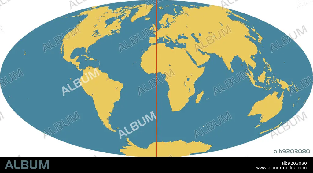
Outline of world map, showing the continents, oceans and prime meridian (in red). The prime meridian (also known as the Greenwich meridian) exactly marks the position of 0 degrees longitude. It is from this that the longitude of all points on the surface of the Earth are measured. This was agreed by an international convention in 1884. The meridian passes through the original site of the Greenwich observatory.
Crédit:
Album / Science Source / Jessica Wilson/NASA
Autorisations:
Modèle: Non - Propriété: Non
Questions sur les droits?
Questions sur les droits?
Taille de l'image:
Pas disponible
Taille d'impression:
Pas disponible
Mots clés:
GEOGRAPHIE: MERIDIENS • GRAPHIQUE • MER • MÉRIDIEN • MERIDIENS • MONDE • OCEAN • ORDINATEUR • PAYSAGE MARITIME • ZERO
