alb8379166
HARRIS & EWING. Map of Europe, between 1913 and 1917. Creator: Harris & Ewing.
| Partager |
|---|
 Pinterest Pinterest |
 Twitter Twitter |
 Facebook Facebook |
 Copier le lien Copier le lien |
 Email Email |
|
Ajouter à une autre Lightbox |
|
Ajouter à une autre Lightbox |


Avez-vous déjà un compte? S'identifier
Vous n'avez pas de compte ? S'inscrire
Acheter cette image

Auteur:
Titre:
Map of Europe, between 1913 and 1917. Creator: Harris & Ewing.
Légende:
Voir la traduction automatique
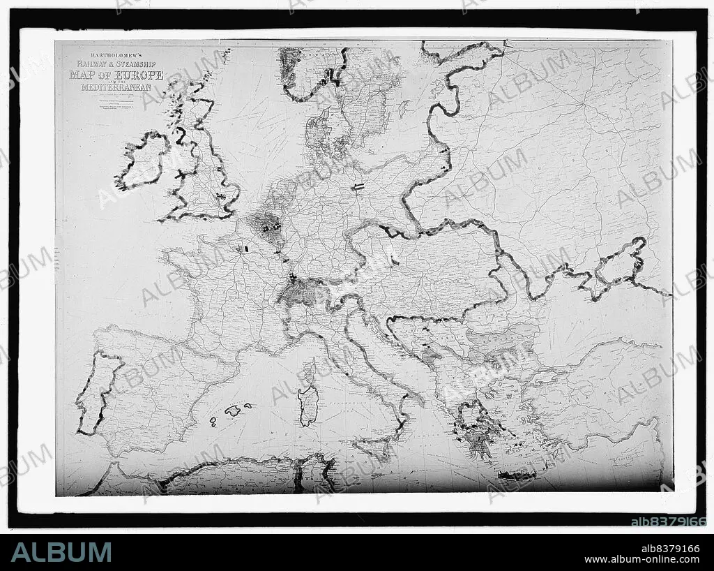
Map of Europe, between 1913 and 1917. 'Bartholomew's Railway & Steamship Map of Europe and the Mediterranean'.
Technique/matériel:
Fotografía
Crédit:
Album / Heritage Art/Heritage Images
Autorisations:
Modèle: Non - Propriété: Non
Questions sur les droits?
Questions sur les droits?
Taille de l'image:
10153 x 7586 px | 220.4 MB
Taille d'impression:
86.0 x 64.2 cm | 33.8 x 25.3 in (300 dpi)
Mots clés:
